


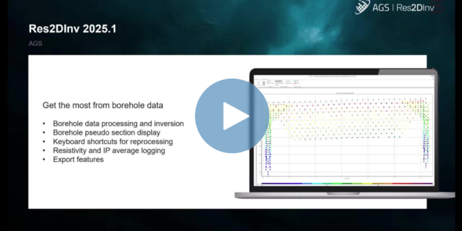
Res2DInv and Res3DInv 2025.1 What’s New
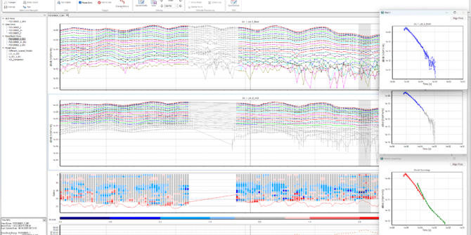
Join Toke as he demonstrates the new features in Res2DInv and Res3DInv 2025.1. With Res2DInv 2025.1, you can process and invert borehole data, use new
Workbench 2024.2 What’s New
Join Toke as he demonstrates how the latest release of Workbench delivers better data management and a host of user-requested features. Upgrade to Workbench 2024.2 to:
Res2DInv 2024.2 What’s New
Join Toke as he demonstrates several new features and user-driven updates in the latest Res2DInv release. With Res2DInv 2024.2 you can reduce manual data conversion,
SPIA 2024.2 What’s New
Join Toke as he demonstrates the powerful 2D visualisation and customisation tools from Res2DInv in the latest release of SPIA. Upgrade to SPIA 2024.2 to

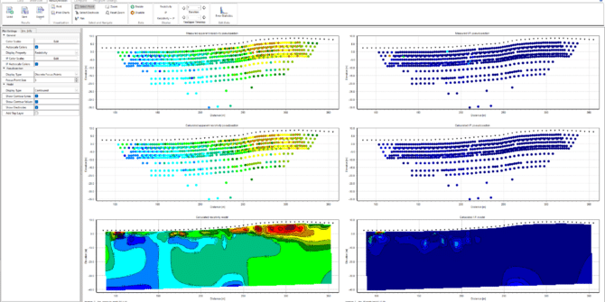
Application of resistivity and gravity to map cavities and low-density zones
The resistivity data will be inverted in Res2DInv, while the gravity data will be processed using Oasis montaj and inverted using VOXI. We will correlate
Workbench 2024.1 – What’s New
The latest release of Workbench streamlines the workflow for processing and interpreting electromagnetic (EM) data. This version offers a more intuitive visualisation experience with features

Geophysics for Groundwater: Tools for Contamination and Aquifer Detection
Discover how to leverage DCIP and TEM survey data for effective aquifer location and contamination detection in our on-demand webinar. This focused session demonstrates Workbench's
See what’s new in AGS Res2DInv 2024.1
Res2DInv 2024.1 continues to improve the processing and analysis of ERT/IP geophysical survey data, making the journey from data collection to inverted models and interpretation