It’s a challenging undertaking to try to understand something as complex as the earth’s subsurface. It’s an even bigger challenge if you try to do this only using 2D tools. Until recently, this was the reality for researchers and scientists in the Po Delta region of Italy.

The Po Delta in Italy is a magnificent landscape, full of hundreds of bird species, lush meadows, sprawling rice fields, and winding rivers. It’s the largest wetland area in Italy, and one of the biggest in Europe. You can spend days following the tracks of Mosela deer, fishing for giant catfish, or horseback riding through shallow waters. The wide array of activities available and natural beauty of the area make it a natural hub for tourists, naturalists, and bird-watchers – so there’s an urgent need to understand the geology as the area becomes more developed.
In particular, critical geological processes like liquefaction due to earthquakes, coastal subsidence (sinking) and saltwater intrusion along the coast need to be further understood. Additionally, this geological knowledge needs to be shared with a wide range of individuals, all with varying understanding, so that sustainable decisions can be made about industry, tourism and other investments in this region. Decision-making stakeholders include planners, civil engineers, environmental scientists and government. The challenge was finding a way to make the geological information easily accessible to all of them.
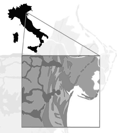
The Geological Service of the Emilia-Romagna Region undertook this challenge and decided to create a 3D model of the region – the first one ever created for this area. They used Seequent’s Leapfrog software to create a geological model over a 800 km2 region of the southern margin of the Po Delta. The 3D model allowed them to have a dynamic view of the region, so they could put their data into context and uncover new insights.
Lorenzo Calbrese, Ph.D., Geologist and public official of the Emilia-Romagna Region, noted that knowledge of the area was improved with 3D modelling, and helped make knowledge of the area accessible to anyone, regardless of their technical understanding. This will enable groups and organisations in the area make better decisions about land use in the Po Delta, so future generations can continue to enjoy this magnificent landscape.


