Safeguarding the river of a major capital city
Oasis montaj and UXO software were also the chosen tools of SAND Geophysics who were called in by the Port of London Authority Hydrographic Service when a 50kg (111lb) unexploded WW2 bomb was found in the Thames riverbed in 2017, not far from the Houses of Parliament.
SAND uses a combination of multibeam and sidescan imagery, magnetic gradiometry and GeoChirp 3D surveys to identify such underwater UXOs. [GeoChirp 3D is an acoustic imaging system developed by the University of Southampton and Kongsberg GeoAcoustics to provide high resolution imagery of the top ten metres of sediment.]
For this project, the PLA provided a survey platform and a hi-resolution multi-beam echosounder.
“The Thames is a notoriously difficult area to survey with traditional magnetic techniques because of its busy nature and high level of construction,” said Richard Hamilton, one of SAND’s founders. Vessel traffic and ferrous structures create false anomalies while changing tides disturb buoyed sensors. The software was able to find and remove those false anomalies and correct for the buoys’ movements, successfully confirming there were no other UXOs in the vicinity.
Bridges and roads were closed, and engineering work halted while the Royal Navy removed and later safely detonated the device.
Shallow waters can be just as challenging as deep ones
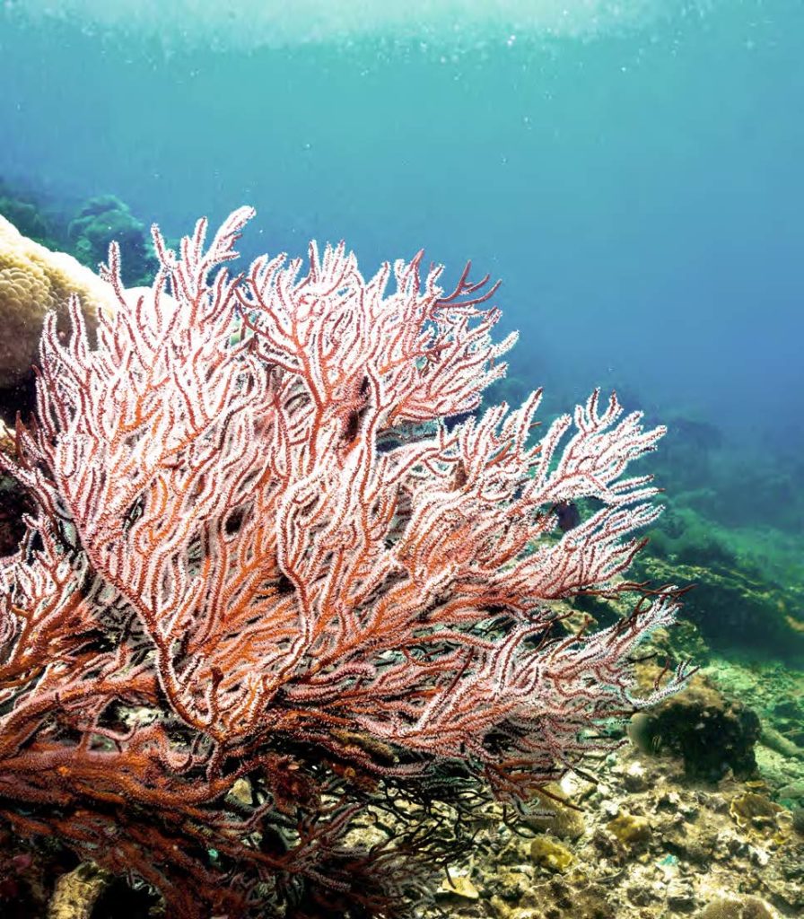
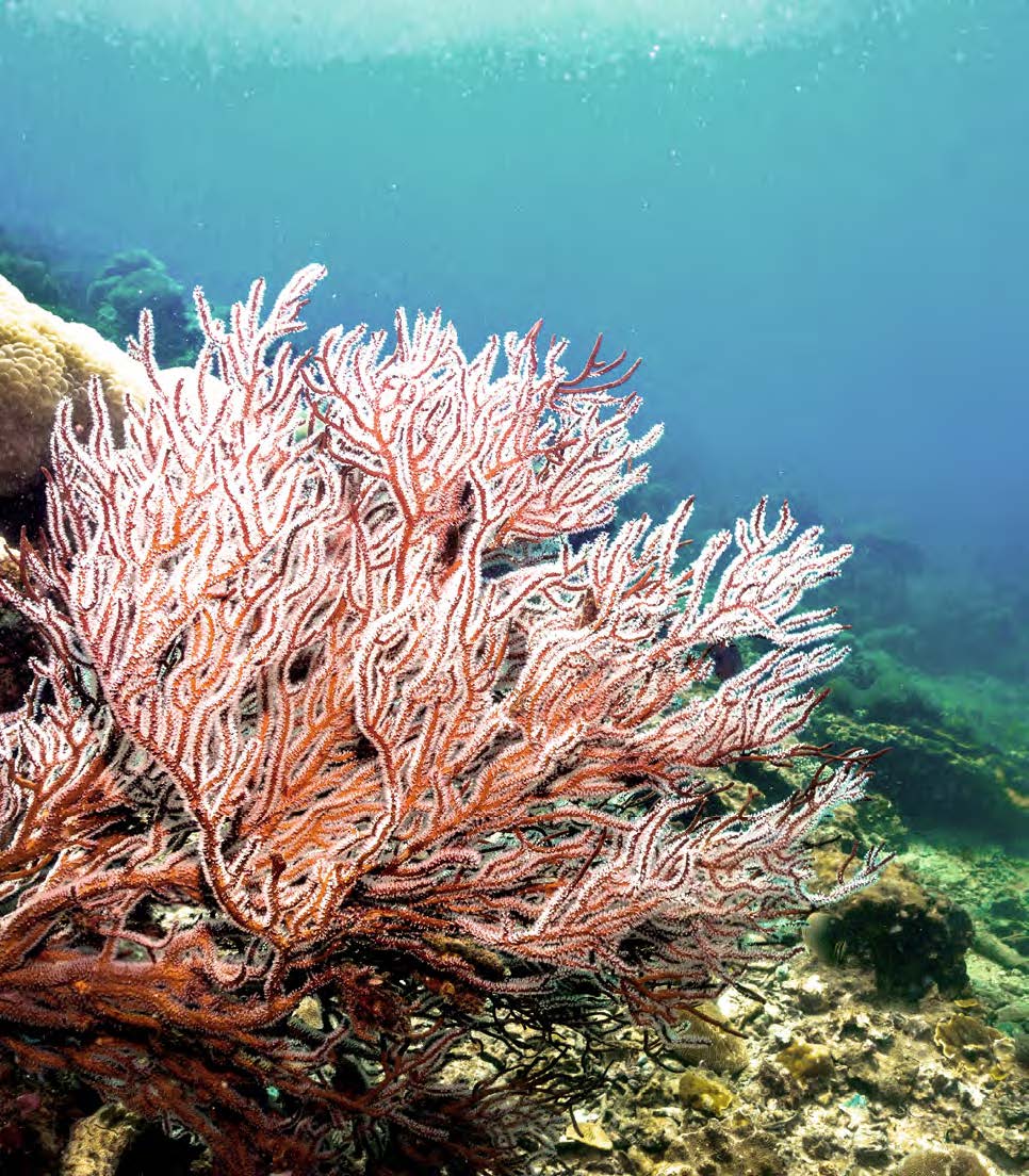
Occasionally underwater UXO will materialise in places that broader geophysical surveys cannot access. One example is the Caribbean where target practice by the US Navy has left unexploded shells in 200 acres (81 hectares) of shallow coral reefs. The reefs cannot be surveyed in normal ways for fear of damaging the coral. (The entire 1000-acre range was on the receiving end of aerial bombs, rockets, missiles, mortars and navy projectiles from 1903 to 1975.)
The solution was to mount a near zero-draft EM sensor array on a hovercraft that sits just inches above the delicate coral but never touches it. The hovercraft was modified to have a thrust system that allowed the pilot to finely control the position of the craft while the sensors did their job.

Finding the truth when the ground tells lies
Soils with different degrees of conductivity can easily complicate the search for unexploded ordnance. For example the Ho Chi Minh Trail that links north and south Vietnam was seeded with colossal amounts of ordnance during the Vietnam War – 3 million tons around Laos alone.
However the country’s soil, which is rich in aluminium, can mean that a 114kg (250lb) bomb sits only a metre below the surface, yet its EM signal will still be lost in the background noise. Survey teams have responded by recording multiple time gates with EM63 time-domain electromagnetic detectors to map subtle changes in background conductivity, enabling the spatial refinement of target locations.
Research facilities will also assess detectors by laying out lanes of soil – from clean sand to metal-rich laterite – and putting them through their paces against a range of UXO risks, from antipersonnel mines planted 10cm deep to 340kg (750lb) bombs four metres down. Targets are raised, lowered and moved to map the effectiveness of various sensors, then that database is used to produce 3D models of UXO responses for a wide range of munitions.
Sifting a mass of data for the few signals that matter
Sometimes the list of potential targets is so large that UXO specialists barely know where to start. For example, when a team from geophysical surveyors Aqua Survey checked a single mile of road in southern Laos, it found more than 700 dense metallic objects, the vast majority of which would be metallic debris rather than bombs. But which ones? Using a combination of techniques that isolated larger and higher conductance targets, they were able to narrow that 700 down to 29, enabling the UXO disposal experts to focus their efforts and improve their chances of success.
They also tackled the problem of the Sepong copper mine where large bombs are found on a regular basis amidst some of the most conductive soil in the world. Reconfiguring their equipment and software allowed the team to distinguish between responses from the ground and the bombs. This dramatically sped up the detection of unexploded ordnance which enabled the mine to work faster and more efficiently, supporting a country where mining makes up more than 10% of the economy.
The largest unexploded bomb on the planet?
The detonation of 1 million tons (more than 900 million kg) of TNT during the Battle of Messines in World War I is one of the largest human-made explosions before the nuclear age. Nineteen mines, buried beneath the German trenches over two years, were set off on June 7, 1917, all within 30 seconds of each other. The resulting explosion was heard in London. In Switzerland it was recorded as an earthquake. General Sir Charles Harington, Chief of Staff of the Second Army, famously remarked on the eve of the battle: “Gentlemen, I don’t know whether we are going to make history tomorrow, but at any rate we shall change geography”.
However, 25 mines were actually laid… Four were never used as the southern flank fell so quickly they were not required. (One exploded in 1955 when electricity struck a pylon. The three others are thought to survive nearby.) The fifth was lost when a tunnel collapsed and the sixth, one of the biggest, sits to this day, 25 metres beneath a barn on La Petite Douve farm, owned by the Mahieu family. At 20,000 kg (22 tons) it is potentially the largest single, unexploded bomb in the world. With admirable Gallic insouciance, the Mahieus declare themselves largely unperturbed.
Remnants of an earthshattering air raid
This September one of the biggest bombs ever dropped during WW2 was found, unexploded, in a major Polish shipping channel. The 5,400 kg (12,000lb) “Tallboy” seismic bomb had been developed to attack underground targets. It had been dropped on April 16, 1945 by the Dambuster Squadron, which was carrying out a raid on the German cruiser Lützow, anchored in the Piast Channel. The unexploded shell was discovered by workers deepening the channel, with naval divers quickly called in to establish the risk. It’s currently marked by a buoy and, as we went to press, authorities were still deciding on the best course of action to take.


