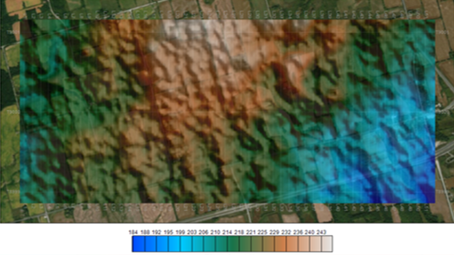
Quickly design a survey with just a boundary file. The survey design workflow provides all the tools needed to subdivide you survey area based on your drone range while remaining compliant with local drone Visual line of sight (VLOS) requirements.
Survey Design
Importing
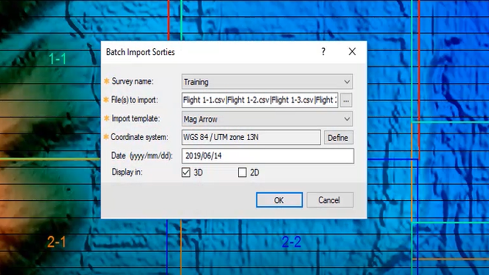
Easily import common drone magnetomer files using pre-built import templates. Save time by batch importing all your sorties at once.
Pre-Processing
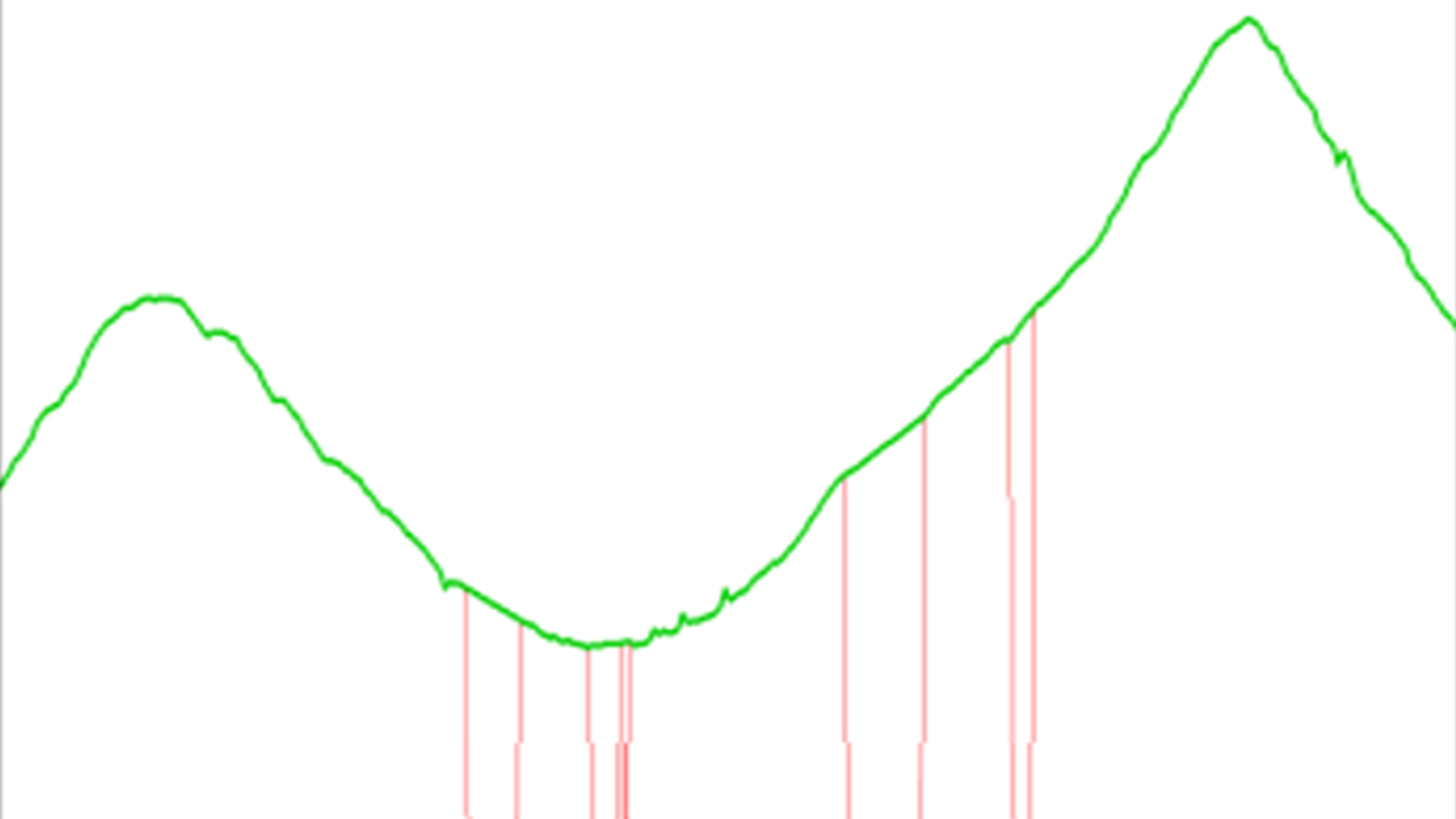
Apply a comprehensive suite of magnetic data corrections to your individual sorties. Discontinuity removal, velocity filtering, base station, lag and heading corrections are all provided within this feature.
Merging
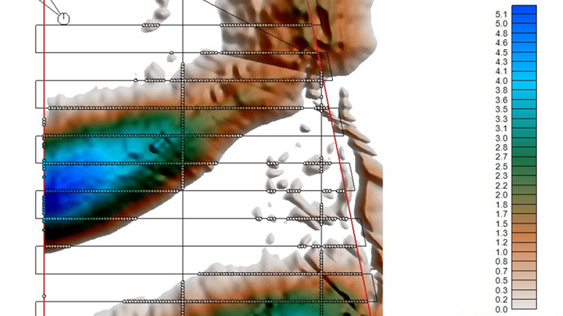
Merge all processed sorties into a levelled composite database. The merging process effortlessly removes extraneous data such as, turnarounds, travel to and from take off locations, then identifies line segments of adjacent sorties to be merged into a single continuous line across the Area of Interest (AoI).
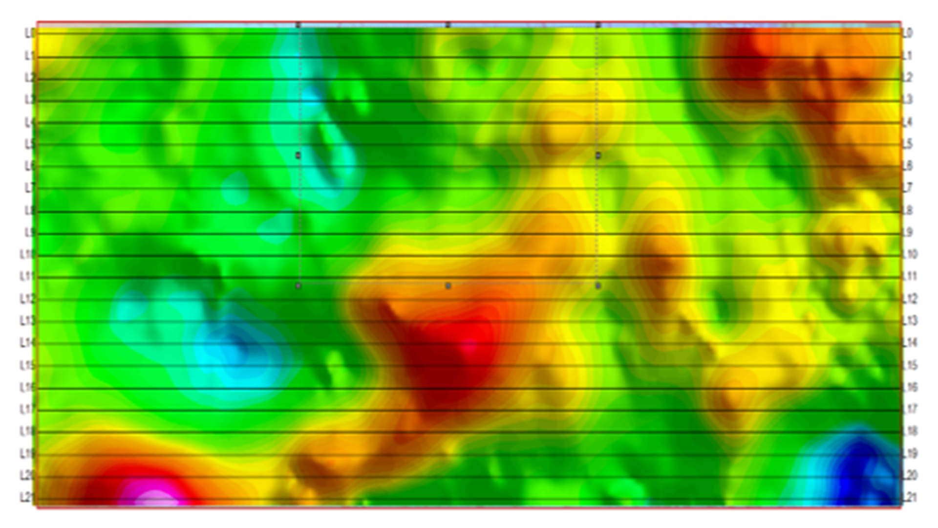
Tie-Line Levelling
Apply a comprehensive suite of magnetic data corrections to your individual sorties. Discontinuity removal, velocity filtering, base station, lag and heading corrections are all provided within this feature.
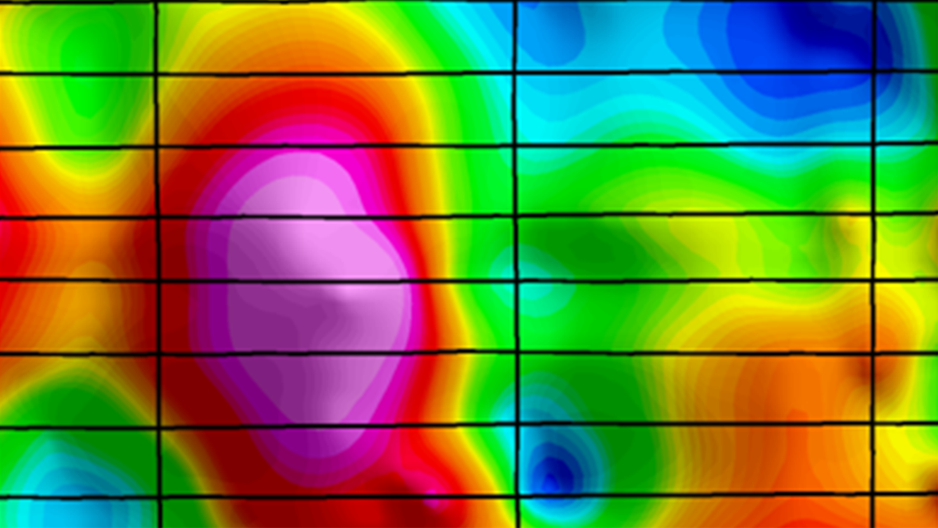
Interpretation
Use the Oasis montaj platform to seamlessly integrate your UAV data with supplementary data such as, lidar, air photos, geology and geophysics. Access to additional Geosoft extensions allows for further interpretation.
