It’s harder than ever to discover, define and develop deposits.
You need the best data, powerful analysis, collaborative modelling, and clear visualisations to make critical decisions for your project.
It’s harder than ever to discover, define and develop deposits.
You need the best data, powerful analysis, collaborative modelling, and clear visualisations to make critical decisions for your project.
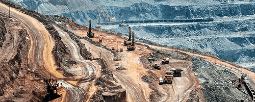
Integrate, communicate, and interpret geoscience data with rapid, implicit 3D modelling.

Fully integrate resource estimation workflows with geological modelling to make confident resource estimations

Visualise, track, and manage your geoscience data from a single centralised, auditable environment.
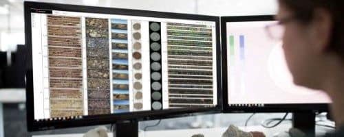
Preserve critical insights and validate drilling investment decisions with your high-quality core imagery.
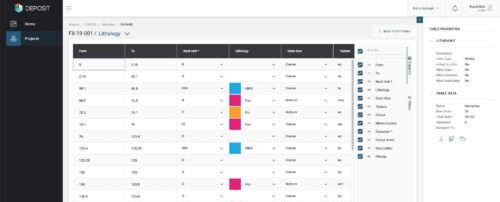
Collect, manage, share, and access your drillhole and sample data in the Cloud. Connect it to your modelling tool of choice for continuous optimisation of your geological models.
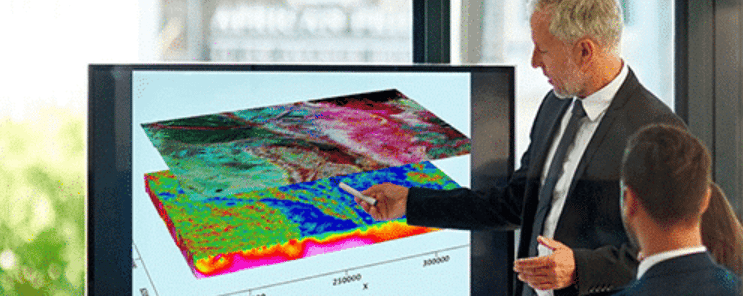
Clean, process, and interpret data with an industry-standard gravity and magnetics solution.
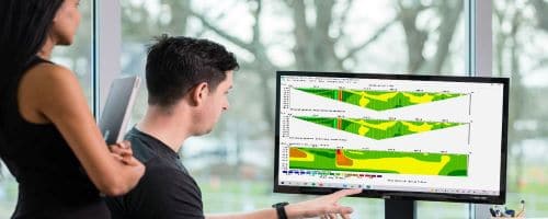
See results fast –process and invert your resistivity and induced polarisation data in a few clicks.
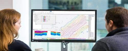
Tailor and refine every step of your EM, ERT, or IP workflow from raw data to final geophysical models, and present results confidently.

Visualise the deep subsurface with Cloud-powered geophysical inversion.
Grow your geoscience knowledge, connect with peers, and refresh your skills
Discover new opportunities, connect with peers, and share insights and best practices with others in your field.
Visit Seequent CommunityGet started fast or upskill whilst working with our onboarding and advanced free eLearning courses.
Visit Seequent Learning CentreFind answers to your technical questions and get the most out of your product, with our in-depth product help information.
Visit Seequent Help