


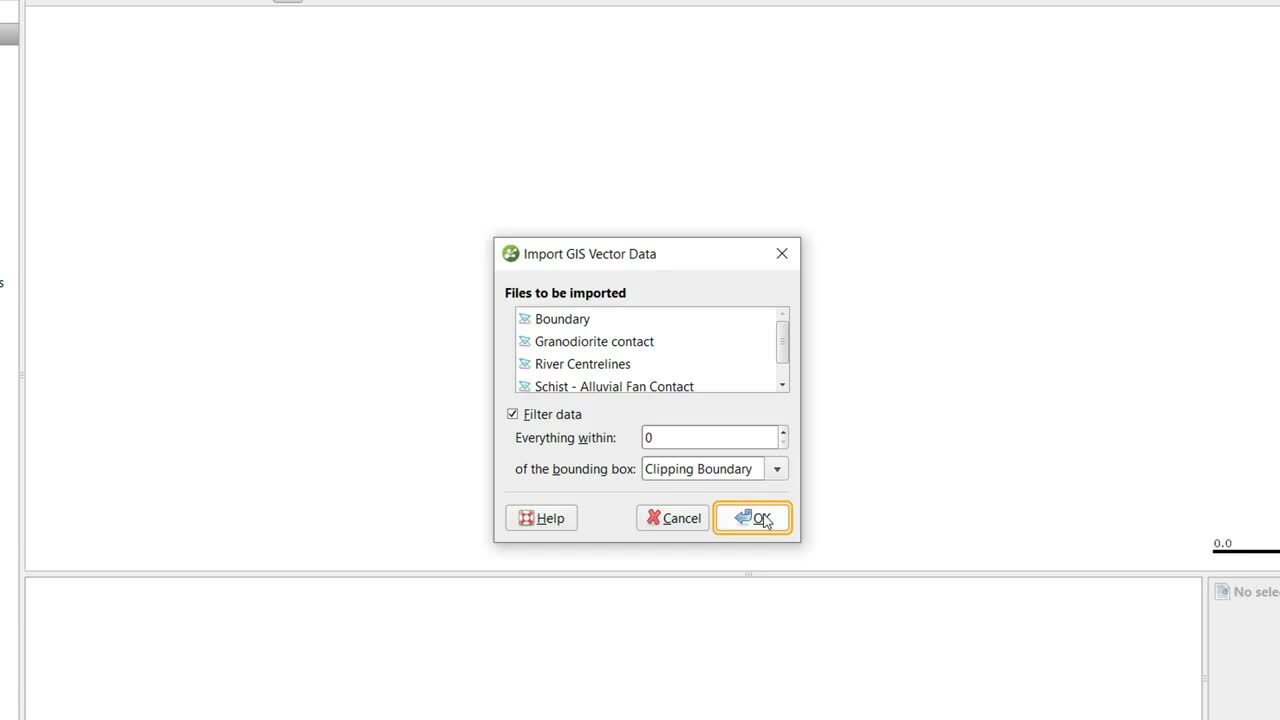
In addition to maps, photos and other images, various types of GIS data can also be imported into Leaprog.
0:00 – Introduction to importing GIS data
0:21 – Importing GIS Data
0:49 – Filtering imported GIS data to a clipping boundary
2:00 – Importing 2D Grids
2:44 – Setting the elevation of a 2D grid
Duration
3 min

See more on demand videos
VideosFind out more about Leapfrog Works
Learn moreVideo Transcript
The video transcript gets copy and pasted here