Geophysicist Paul Bauman was teaching a short course on finding groundwater sources at the UN’s Kakuma refugee camp in Kenya when he realized his skills could be put to better use.
Although a dozen wells were servicing the 163,000-person camp, the water supply was inadequate and fluoride concentrations exceeded Kenyan drinking water guidelines, posing a risk of fluorosis to both teeth and bones.
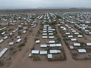
A drone photograph overlooking a small portion of the Kakuma camp, across the edge of the Lotikipi Plain, to volcanic mountains forming the rim of the Lotikipi Basin.
Bauman thought he could use geophysics to find a better source, so when he returned to Calgary he applied for and won a grant from the SEG’s Geoscientists Without Borders for groundwater exploration in the semi-arid region of northwestern Kenya.
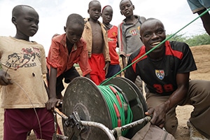
Habimana, a Burundian refugee, reels in cable with the help of kids just leaving school at the end of the day.
Other than the few days of the year when the river is in flood, there is no surface water at Kakuma. And ever since the camp opened in 1992 to house the “Lost Boys of Sudan” fleeing civil war, drilling success for water wells has been variable. The further the distance from the river, the less the likelihood of hitting groundwater and the greater the chance the water would be brackish. All the wells were high in fluoride.
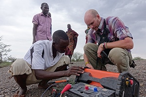
Geophysicist Landon Woods trains refugee students on how to set up the 2D resistivity system.
“[The UN] used one dimensional electrical soundings and water witching to explore and whenever they hit fractures in the volcanics they would put in a well,” says Bauman, recipient of the APEGA’s 2016 Community Service Award for his efforts to find clean water for those in need worldwide. “My feeling was that the high fluoride was likely coming from the volcanics and that they could produce a lot more water from thick overburden gravels than from sporadic and discontinuous fracture systems that are difficult to explore for.”
The complex geology and hydrogeology of the area – unconsolidated sediments interfingered with volcanics underlain by sedimentary rocks and finally by Precambrian basement consisting of gneisses and schists – called for a modern approach to finding the sand and gravel aquifers more likely to produce clean, fresh water.
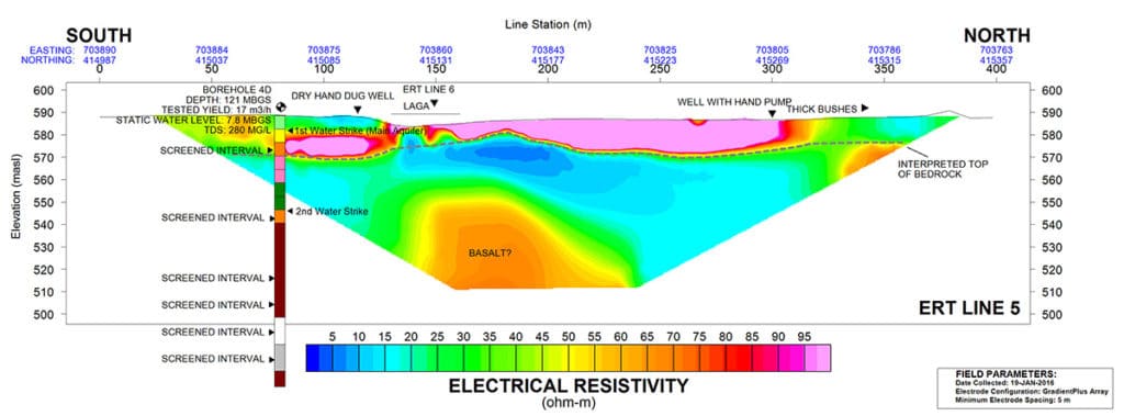
Bauman and his team zeroed in on areas near the dry riverbed or “laga” where they might find side channels containing water from indirect recharge that takes place when the river flows. They ran the equivalent of 11.4 km lines of ERT (electrical resistivity tomography) to differentiate fine (clay and silt) from coarse (sand and gravel) materials and saline water from fresh. A simultaneous seismic refraction survey totalling 5.8 line kilometres helped to determine the top of the bedrock and the thickness of the overburden.
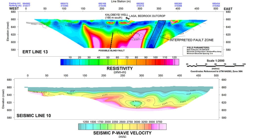
They compiled the resulting survey data, along with data from drone flights, Google Earth, and digital elevation models in Geosoft’s Oasis montaj mapping and analysis software to come up with high priority targets for drilling. They also ran multi-channel analysis (MASW) on the seismic data to find fractured basement rocks in case the search for sand and gravel aquifers was fruitless.
By combining the data, the team succeeded in identifying granular overburden saturated or partially saturated with fresh water at a resistivity range of 30-100 ohm-metres. The UN drilled three new holes based on their results, which produced sustainable water yields of 29-45 cubic metres per hour with acceptable fluoride concentrations, providing enough to supply 57,000 refugees with 20 litres of good quality water each per day. The program also identified other thick sand and gravel aquifers that are likely to be low in fluoride and high in productivity that the UN can drill when necessary.
Bauman attributes some of his success to the ability to bring together disparate data sets in Oasis montaj. “The big strength of Oasis montaj is that it is the lingua franca of all the datasets so it becomes the common mapping platform we can use to georeference all our data. Having good mapping software is essential not only to interpret the data but also to create a product others who will be drilling targets or maintaining wells down the road can use.”
Bauman says the combination of ERT and seismic refraction he used to explore for groundwater at Kakuma would work well in other areas with crystalline basement rocks. He has subsequently taken his groundwater exploration techniques to the Rohingya refugee camps in Bangladesh and similar camps in Uganda.


