


GeoStudio 2024.2 – What’s new
This latest release provides important updates and new features for GeoStudio users conducting slope stability, seepage, and consolidation analysis, particularly for defining conditions within the
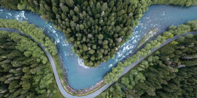
Tech Talk: Stability Analysis of Retrogressive Landslides in 2D and 3D
This webinar led by Chris Kelln, covers the following: How to set up the 2D and 3D geometries with the help of Leapfrog; Using weak
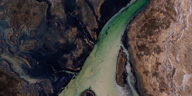
Using GeoStudio to conduct 3D numerical analysis of groundwater seepage and stability at the Ripley Landslide site
Landslides come with significant potential for loss of life and damage to integral infrastructure. That’s why geotechnical engineers dedicate significant time and effort into preventing
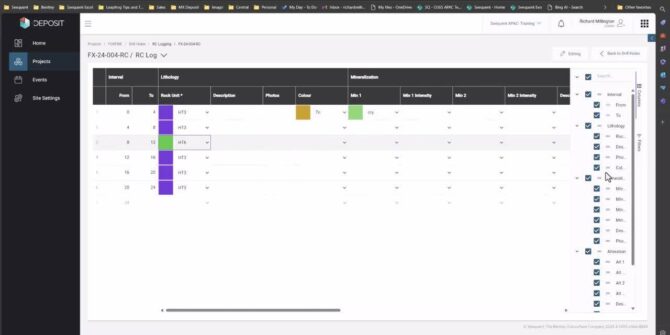
MX Deposit: Elevating Data Management for Geologists
Even in 2024, manual wrangling is one of the biggest productivity blockers faced by geology teams. In this webinar, Senior Data Solutions Specialist, Richard, will
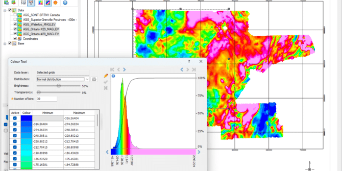
Oasis montaj 2024.1 – What’s new
Building on our commitment to improving user experience in response to user feedback, this release streamlines analysis with more intuitive colour, file, and job management.

From millidarcy to megawatts: geothermal asset optimisation with Volsung integrated geothermal modelling
Discover its applications for reservoir and wellbore modelling, and thermodynamics, empowering geoscientists, and engineers to optimize geothermal project outcomes. Our expert-led webinar and Q&A session

Application of resistivity and gravity to map cavities and low-density zones
The resistivity data will be inverted in Res2DInv, while the gravity data will be processed using Oasis montaj and inverted using VOXI. We will correlate
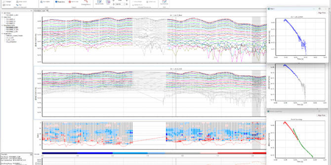
Workbench 2024.1 – What’s New
The latest release of Workbench streamlines the workflow for processing and interpreting electromagnetic (EM) data. This version offers a more intuitive visualisation experience with features