DHI Consultants Present: Transforming project outcomes using Leapfrog and FEFLOW simulation for groundwater flow models
With thirteen years’ experience as a hydrogeologist involved in a variety of hydrogeological, geotechnical and geothermal projects in Germany, Peru and Western Australia, Ferdinand will
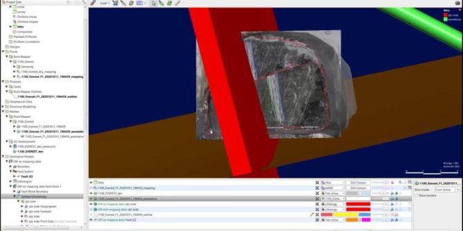
Technical Tuesday: From Face Map to 3D Model – A Fully Digital Workflow
On the last Tuesday of every month, our in-house Seequent experts present tips and tricks to help you bring out the best in our software.

SpaceX boosts the Internet for mining – cloud data management
SpaceX is deploying a constellation of thousands of mass-produced small satellites in Low Earth Orbit (LEO) called Starlink. The constellation will deliver high-speed, low cost
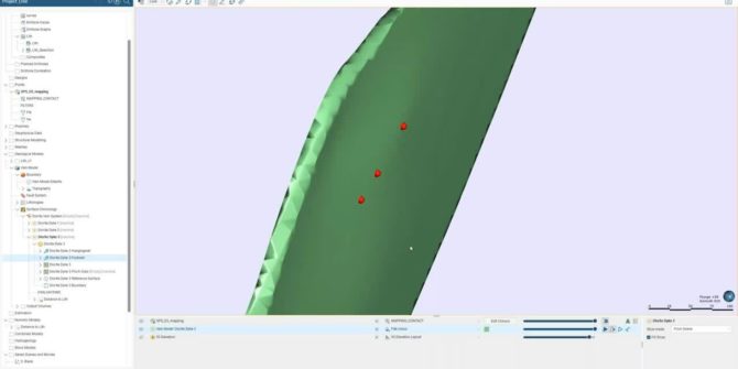
Leapfrog Geo vein modelling best practices
This session takes a deeper look at how Leapfrog Geo constructs a vein system in order to build upon and provide a better understanding of

Taming the complexities of contaminated sites
This webinar covers: Bringing teams and diverse technical expertise together to see the full picture and build a collaborative solution. Discovering where the contamination lies

Using Leapfrog Edge to Automate Internal Resource Estimation Reviews at the Alpala Porphyry Copper-Gold Deposit, Cascabel Project, Northern Ecuador
The Project SolGold plc (SolGold) is a leading exploration company focused on the discovery, definition and development of world class copper-gold deposits. In 2018,
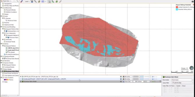
Improving Geotechnical Stability Analysis using Leapfrog Geo + Edge – Partner Webinar (SRK Consulting)
It's about the safety of your team, the stability of your infrastructure, certainty of your production and ultimately the value of your operation. Host Peter
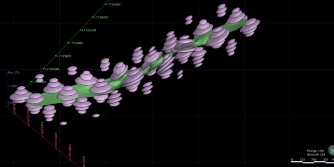
Troubleshooting with structural trends
Leapfrog has useful tools to enable you to apply structural trends to your modelling. Applying a structural trend can be great in helping to reflect


