


The Seequent Solution for Integrating Imago core imagery into Leapfrog geological models
Photographic data, while being an important requirement of the reporting and compliance process, is often an underutilised resource. Two of Seequent’s products, Imago and Leapfrog

How Leapfrog Energy is helping define the Paris Basin’s energy future
Joris Popineau and his team have created a geothermal numerical model of the Paris Basin to define and monitor the invaluable energy resource surrounding the
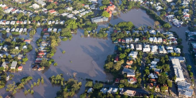
Forensic analysis team simulates high-profile dam failure in GeoStudio
It was impossible to foresee what began as heavy rainfall on 18 May, 2020, would end with the brutal failure of both the Edenville and
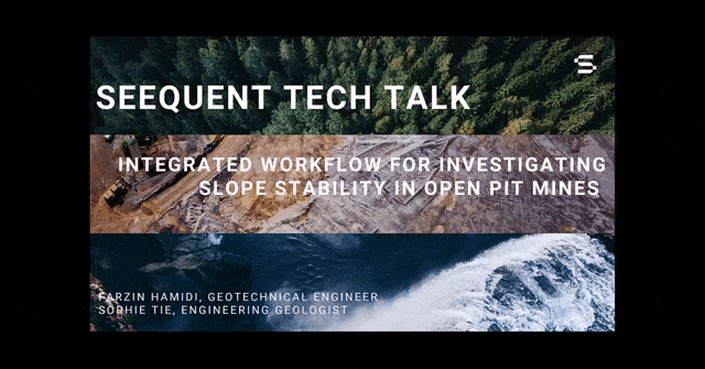
Integrated Workflow for Investigating Slope Stability in Open Pit Mines
Demonstrates how the Seequent software ecosystem allows for the use of Leapfrog, Central, and GeoStudio to seamlessly assess and manage stability of mining projects. Join
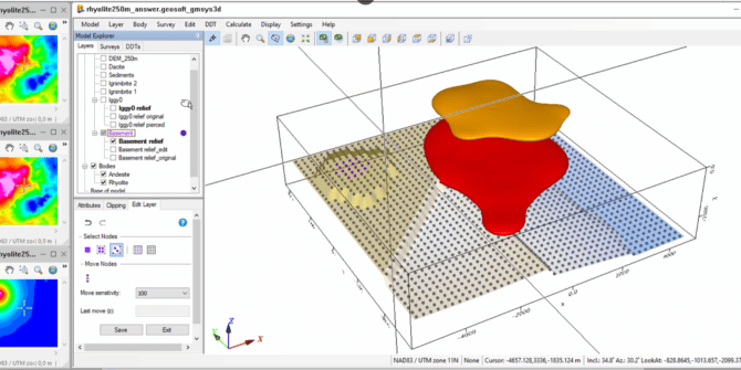
The new GM-SYS 3D Layer editing workflow in the 2022.1 release of Oasis montaj
Geologic models generated from geophysical data are subject to non-uniqueness. This means that an infinite number of models could match your geophysical input response. The
Even more UXO Marine improvements in Oasis montaj 2022.1
In addition to the modelling workflow improvements discussed in the Precise Target Modelling blog, there’s even more for UXO Marine users in Oasis montaj 2022.1.
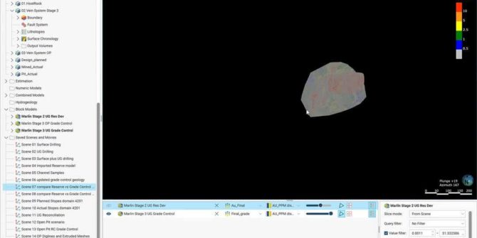
Grade control reconciliation workflows using Leapfrog Edge
Grade control is an important part of any mining operation. Seequent’s key products, such as Leapfrog Geo, Leapfrog Edge, Seequent Central, Imago and MX Deposit,
More accessible and precise target modelling with the latest release of UXO Marine and Oasis montaj 2022.1
The latest release of Oasis montaj 2022.1 significantly improves UXO Marine target modelling. The new features and improved UXO target modeling allow users to better