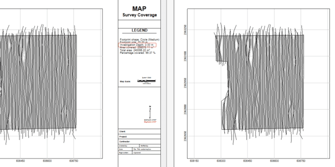
Even more UXO Marine improvements in Oasis montaj 2022.1
In addition to the modelling workflow improvements discussed in the Precise Target Modelling blog, there’s even more for UXO Marine users in Oasis montaj 2022.1.
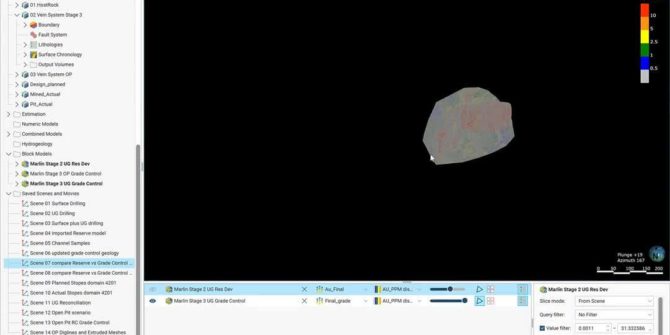
Grade control reconciliation workflows using Leapfrog Edge
Grade control is an important part of any mining operation. Seequent’s key products, such as Leapfrog Geo, Leapfrog Edge, Seequent Central, Imago and MX Deposit,
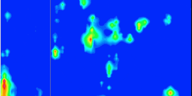
More accessible and precise target modelling with the latest release of UXO Marine and Oasis montaj 2022.1
The latest release of Oasis montaj 2022.1 significantly improves UXO Marine target modelling. The new features and improved UXO target modeling allow users to better
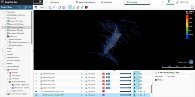
The Seequent solution for effective grade control
Grade control is an important part of any mining operation. Seequent’s key products, such as Leapfrog Geo, Leapfrog Edge, Seequent Central, Imago and MX Deposit,
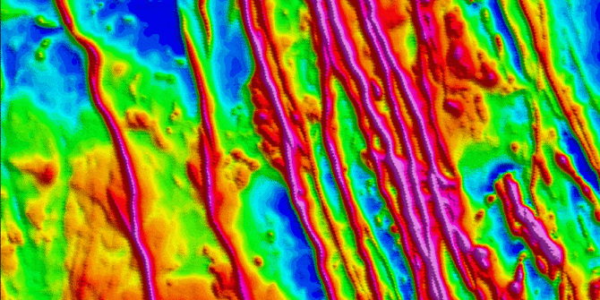
The Multi-trend gridding tool unlocks enhanced gridding capabilities when working with data containing linear trends
The Multi-trend gridding tool unlocks enhanced gridding capabilities when working with data containing linear trends. The Multi-trend gridding tool is now a part of the
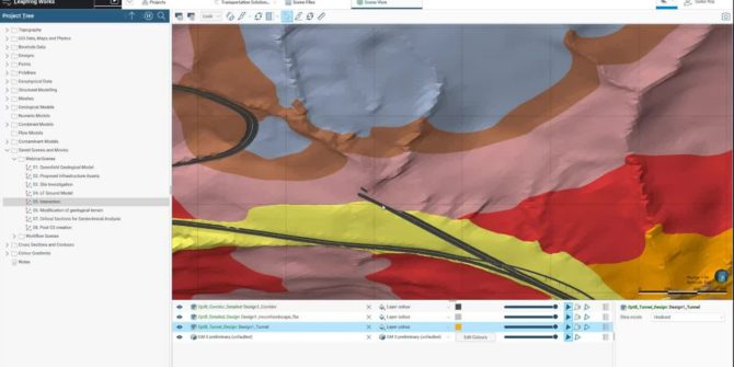
Geological Modelling to Geotechnical Design: Interoperability between Leapfrog and PLAXIS 2D – Slope Stability Analysis
Effective modelling and design practices and active collaboration between engineering geologists and geotechnical engineers. Join technical expert, Sudur Roy, in this video as he guides
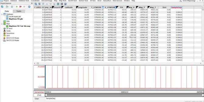
Drone survey planning and data processing using UgCS and Oasis montaj
During the video you will learn the basic workflows, concepts, and tools necessary to plan a drone survey using UgCS software and process data in
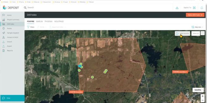
MX Deposit Top Ten Features and Functionality
MX Deposit simplifies and modernises the way drilling and sample data is collected, managed, and shared. Delivered as a true software-as-a-service, MX Deposit is flexible,


