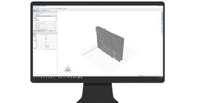
GeoStudio 2021.4: New BUILD3D UX/UI Improvements
These include the ability to: visualise the quality of your fitted surface to the original input data points using colour coded distance parameters; automatically adjust
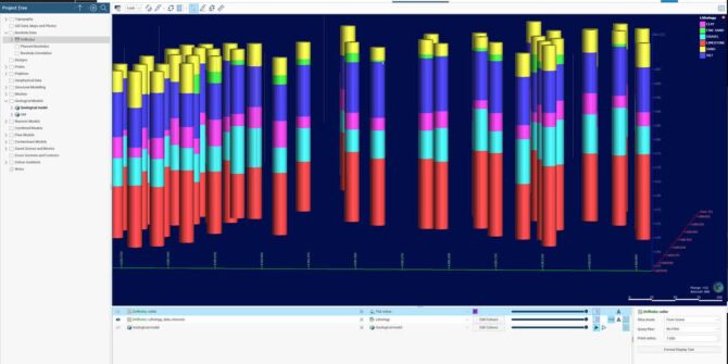
Facilitating groundwater flow and solute transport modelling with Leapfrog Works
This webinar recording will showcase the relationship between geological models, groundwater flow and solute transport modelling. Learn how to create, edit and export a MODFLOW
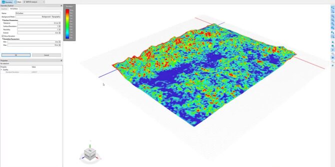
Mastering 3D Analysis: Working with Imported Geometry in BUILD3D
There are various options available for geometry creation, including importing geology or topography from external sources, including Leapfrog geological models through Seequent Central. This video
How to to toggle different views I have created for my topography in Leapfrog Viewer
Objective: I have added several images into the GIS Data And Maps folder along with my vector data. I have also created multiple views to
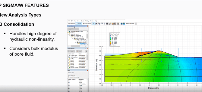
Top Features in SIGMA/W
This short video walks you through the following top functionalities in SIGMA/W to help you with your stress/deformation modeling: • Most commonly used material models
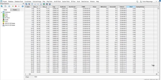
Using the Channel Math Tool to QC geophysical datasets in Oasis Montaj
In this video we show how the user can use the Channel Math tool to calculate sample separation, velocity and heading for the purposes of

How to apply a query filter within a large dataset in Leapfrog using Microsoft Excel
Objective: I have a large dataset of drillholes and I would like to use Leapfrog's query filter to only view a specific group. The drillholes
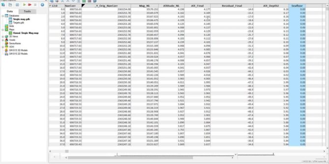
Survey Coverage tool in the UXO marine extension
Using the sensor footprint at the seafloor, and the sensor altitude, easily determine what percent of the survey area has been surveyed and visualise this


