


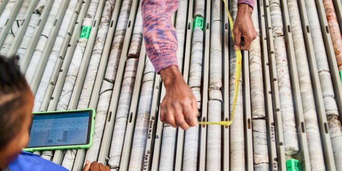
Critical Minerals Series: 3D Modeling for Copper Exploration – From Porphyry to Sediment-Hosted Deposits
As part of the Critical Minerals Series, this webinar explores how 3D modelling enhances copper exploration across diverse deposit types. From large-scale porphyry systems to
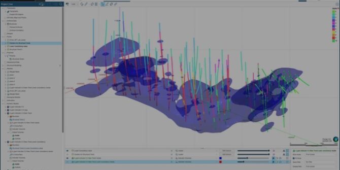
Streamlining your Structural Modelling in Leapfrog 2025.1
Join Product Manager, Andrew McLoughlin as he deep dives into Leapfrog 2025.1. that features significant enhancements to Structural Trends.
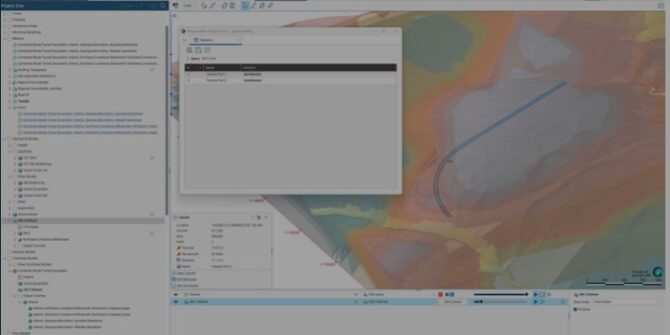
Streamlining your multi-domain set-up and rotation management in Leapfrog 2025.1
Join Product Manager, Silivia Misk, as she demonstrates that latest improvements in Leapfrog 2025.1 and streamlines the set-up of multi domains.
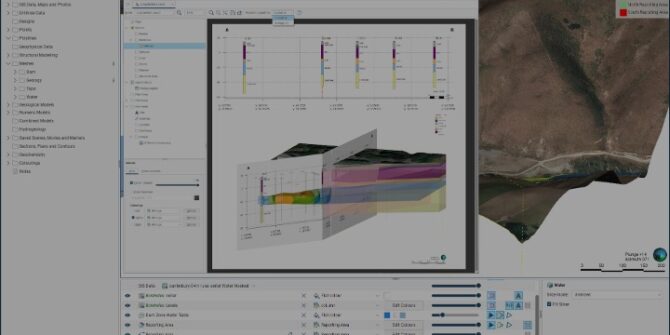
Streamlining your cross-section creation in Leapfrog 2025.1
Learn the latest cross-section capabilities within Leapfrog 2025.1 and how they enable faster layout creation.
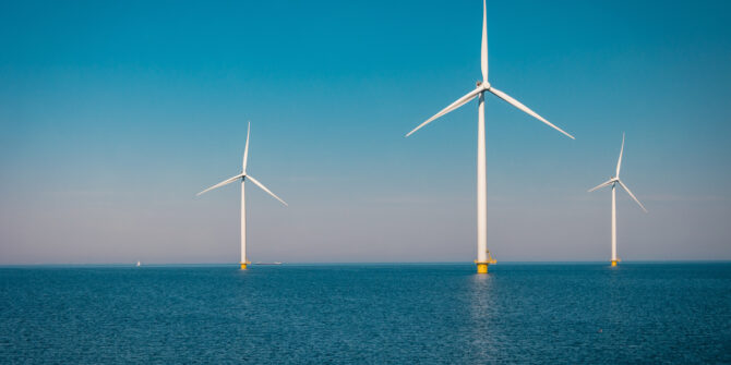
Offshore Wind Insights: Data Integration and Visualisation Techniques
Watch our engaging second session of the Offshore Wind Insights webinar series to uncover the immense capabilities of Seequent solutions in offshore wind farm design.
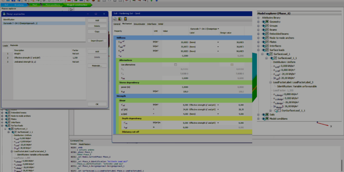
PLAXIS 2024.3 – What’s new
PLAXIS 2024.3 has been released with significant updates including new design approaches for PLAXIS 3D. Watch our What's new video to learn more.
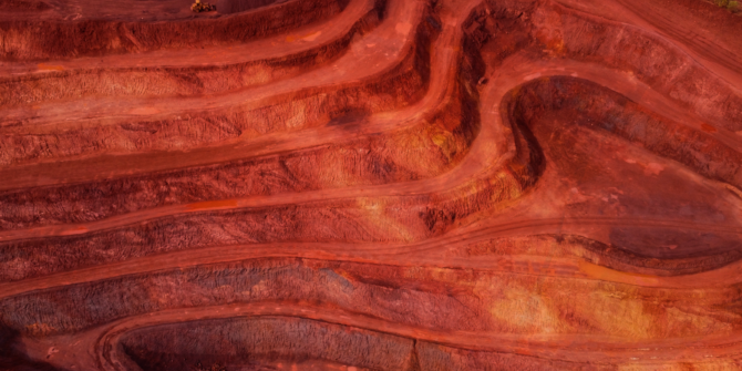
Reducing resource risk: A new platform to bridge the gap in subsurface understanding
In the face of complex deposits and shortened project timelines, mining decision makers need integrated workflows that combine geoscience expertise with modern technology. Discover how
Bringing the ‘Seequent’ Experience to Resource Estimation: A New Era of Desktop and Cloud Workflows
Bringing the ‘Seequent’ experience to resource estimation: A new era of integrated desktop and cloud workflows with Seequent Evo to enhance efficiency, collaboration, and data