Interpolation and anisotropy
In addition to interpolation, Leapfrog provides two tools that gives you control over the continuity of grade in your numeric models. These are the “Global
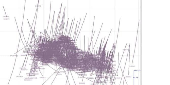
Basic query filter in Leapfrog Geo
In this guide we’ll show how to do a simple query selection based on a single hole ID and also one based on multiple columns.
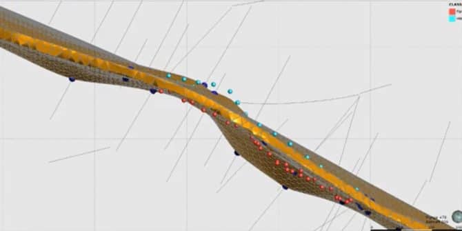
Updating a vein with mapping in Leapfrog Geo
This example shows how to add points into the hanging-wall (HW) and footwall (FW) of a vein. Duration 10 min JTNDJTIxLS0lMjBUaGUlMjBzY3JpcHQlMjB0YWclMjBzaG91bGQlMjBsaXZlJTIwaW4lMjB0aGUlMjBoZWFkJTIwb2YlMjB5b3VyJTIwcGFnZSUyMGlmJTIwYXQlMjBhbGwlMjBwb3NzaWJsZSUyMC0tJTNFJTBBJTNDc2NyaXB0JTIwdHlwZSUzRCUyMnRleHQlMkZqYXZhc2NyaXB0JTIyJTIwYXN5bmMlMjBzcmMlM0QlMjJodHRwcyUzQSUyRiUyRnBsYXkudmlkeWFyZC5jb20lMkZlbWJlZCUyRnY0LmpzJTIyJTNFJTNDJTJGc2NyaXB0JTNFJTBBJTBBJTNDJTIxLS0lMjBQdXQlMjB0aGlzJTIwd2hlcmV2ZXIlMjB5b3UlMjB3b3VsZCUyMGxpa2UlMjB5b3VyJTIwcGxheWVyJTIwdG8lMjBhcHBlYXIlMjAtLSUzRSUwQSUzQ2ltZyUwQSUyMCUyMHN0eWxlJTNEJTIyd2lkdGglM0ElMjAxMDAlMjUlM0IlMjBtYXJnaW4lM0ElMjBhdXRvJTNCJTIwZGlzcGxheSUzQSUyMGJsb2NrJTNCJTIyJTBBJTIwJTIwY2xhc3MlM0QlMjJ2aWR5YXJkLXBsYXllci1lbWJlZCUyMiUwQSUyMCUyMHNyYyUzRCUyMmh0dHBzJTNBJTJGJTJGcGxheS52aWR5YXJkLmNvbSUyRlRwZWQ1NlhRbjJOY1FqOXgydU44TUMuanBnJTIyJTBBJTIwJTIwZGF0YS11dWlkJTNEJTIyVHBlZDU2WFFuMk5jUWo5eDJ1TjhNQyUyMiUwQSUyMCUyMGRhdGEtdiUzRCUyMjQlMjIlMEElMjAlMjBkYXRhLXR5cGUlM0QlMjJpbmxpbmUlMjIlMEElMkYlM0UlMEE= Video Transcript [00:00:05.670]<v Instructor>Hi,
Unlocking Value For Geotechnical Engineers in Leapfrog Geo
Presented by Sophie Tie - Engineering Geologist at Seequent (47:40)

Industrial Minerals: How to predict material quality faster and more accurately
This webinar will provide an overview of Seequent solutions in the Industrial Minerals market that can help you more accurately and quickly predict material quality
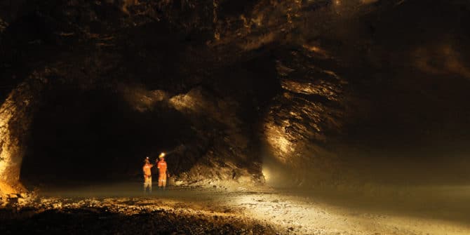
Leapfrog’s role in making AngloGold Ashanti’s Serra Grande mine safer
Serra Grande Mine, NR Crixas, Goias State, Brazil AngloGold Ashanti, operator of the world’s deepest mines, is using Leapfrog Geo in the production environment to


