


Importing to BUILD3D: Import from CAD Sources
This tutorial uses GeoStudio 2021.3 and will show you how to import 3D CAD files in the *.step, *.iges, *.dxf, *.dwg, and *.stl file formats.
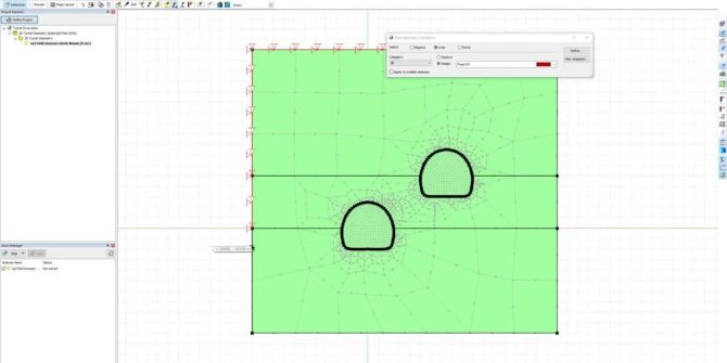
GeoStudio Core: Integrating SLOPE/W, SEEP/W, and SIGMA/W to solve more complex problems
This video will take you through the step-by-step process of defining the analysis tree, materials, and geometry, followed by reviewing the results of an example
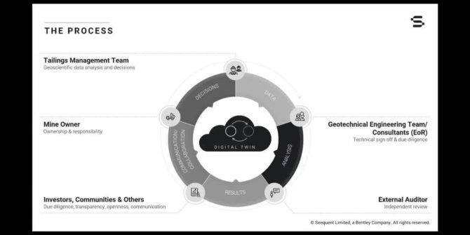
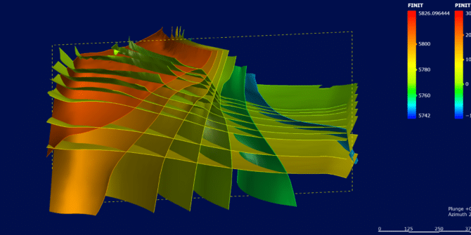
Dynamic Digital Twin for Managing Tailings Storage Facilties
The industry has already come a long way to match the Global Tailings Standards and the ICMM in particular has greatly contributed to this development.

GeoStudio Integration Workflow
1. Analyse slope stability using piezometric lines with SLOPE/W Use SLOPE/W to do a simple global stability analysis using a piezometric line to model pore-water
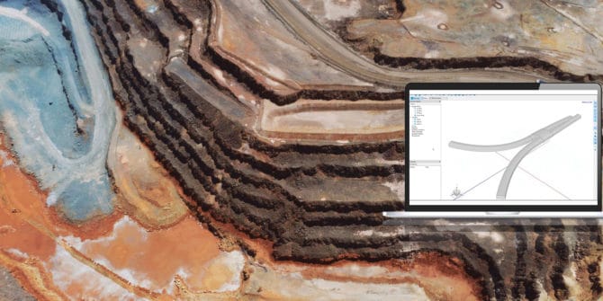
From a 3D Leapfrog Model to a Comprehensive Geotechnical Analysis in GeoStudio
In this session, learn the following: The challenges faced by geotechnical engineers dealing with evolving site conditions How a dynamically updated digital twin enables rapid
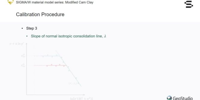
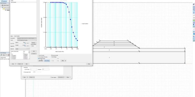
SIGMA/W Material Model Series: Hardening Soil Model
This webinar briefly introduces the Hardening Soil Model theory and formulation. The creation of a SIGMA/W analysis using the Hardening Soil Model to simulate the
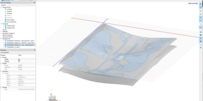
The role of the 3D Geological Model in Geotechnical BIM
Building Information Modelling/Management (BIM) is defined as ‘Use of a shared digital representation of a built asset to facilitate design, construction and operation processes to
SIGMA/W Field Stresses
This webinar demonstrates a practical example using the Field Stresses feature in SIGMA/W, as well as some practical tips for simulating initial stress in the