


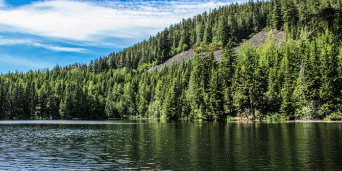
Using GeoStudio to conduct 3D numerical analysis of groundwater seepage and stability at the Ripley Landslide site
Landslides come with significant potential for loss of life and damage to integral infrastructure. That’s why geotechnical engineers dedicate significant time and effort into preventing
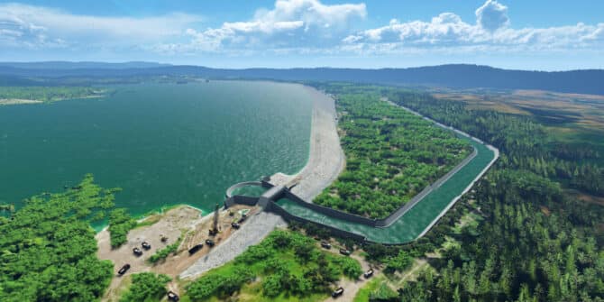
Solving complex geotechnical design challenges for the longest Dam in South-East Asia.
With a capacity of 33 million cubic metres of water and stretching a vast 3.1 kilometres, Indonesia’s Semantok Dam is a vital asset for controlling
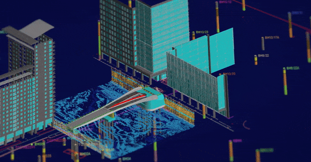
Arcadis utilise digital modelling & analysis for: Iconic lifting footbridge in London’s Canary Wharf
Through groundbreaking digital modeling and analysis, Arcadis, achieved unprecedented efficiencies, reducing ground investigation costs by 30% and design costs by 12%. Hear from Andrea Gillarduzzi,
GeoStudio Answer Hour: New Features in GeoStudio
GeoStudio 2024.1 continues to build on Seequent’s geotechnical analysis solution, with the addition of many new SLOPE3D features. This release also advances the 3D geometry
GeoStudio 2024.1 – What’s new
GeoStudio 2024.1 continues to build on Seequent’s geotechnical analysis solution, adding new features to tackle complex problems involving rock slopes along with the capability to

A Connected Geotechnical Workflow: The Key to Safe and Sustainable Infrastructure Projects
Gain knowledge of: Integrating and visualising available subsurface data Interpreting subsurface data to aid geotechnical analysis Managing geoscience data and collaborating to refine project design
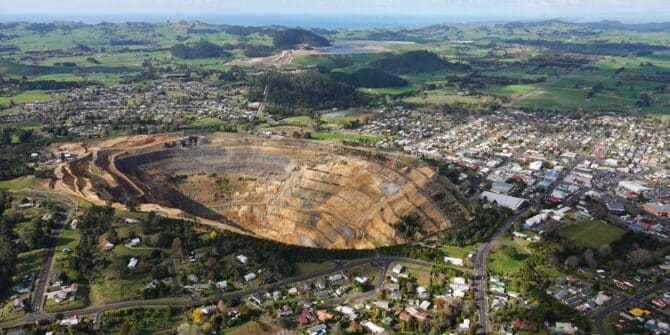
OceanaGold pilots innovative digital response for managing the Waihi Tailings Storage Facility
In an industry striving for best practice in Tailings Storage Facility management, OceanaGold’s digital response to their Waihi operations offers a gold mine of information.
Answer Hour | Understanding Pore Water Pressures & Seepage
GeoStudio’s SEEP/W and SEEP3D provide the ability to simulate 2D and 3D groundwater seepage associated with natural slopes, dams and levees, excavations and pits, pumping