


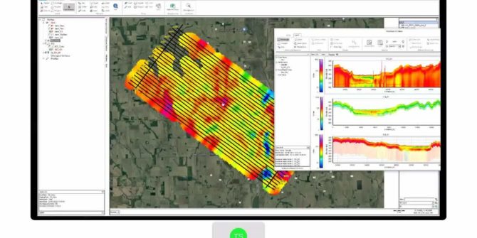
What’s new in AGS Workbench 6.7
The latest release of AGS Workbench provides improved interoperability between Oasis montaj and AGS Workbench. With support for the Oasis montaj GBD file format, now
Setting the standard in geophysical modeling
As new technologies are being developed to acquire geological data, Seequent is creating better ways for geoscientists to process and interpret it. We help the
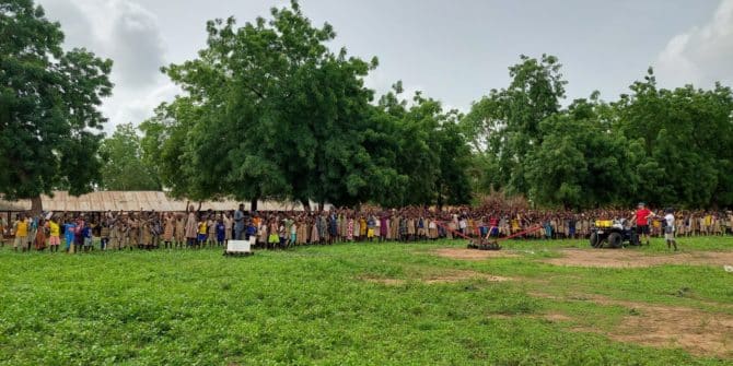
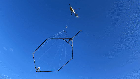
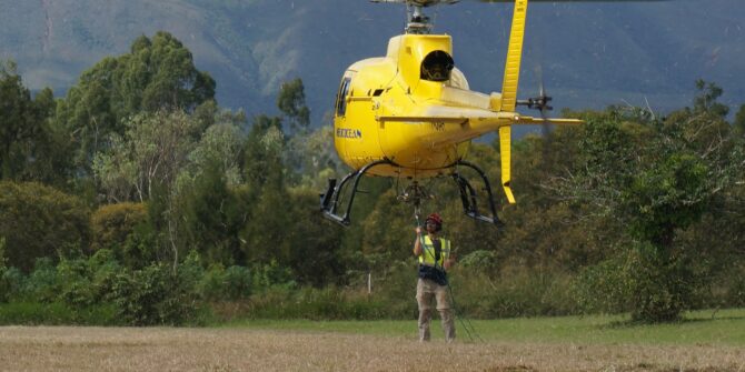
Towed Transient Electromagnetic Technology (tTEM) Improves Water Access in Developing Countries
The Aarhus University HydroGeophysics Group are dedicated to improving water access in developing countries. We are excited to share their story about their recent project
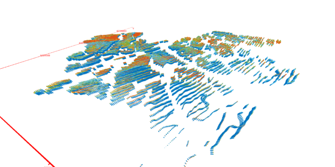
Workbench unlocks the value of IP effects in TEM data to enhance mining models
Induced polarisation data comes embedded with resistivity in AEM exploration but is often discarded as too troublesome to interpret That needn’t be the case. You
Introduction to the Hydro-Structural Modelling (HSM) module in Aarhus Workbench 6.6
With the latest release of Aarhus Workbench, we have introduced a new module that enables you to create groundwater models faster and with less uncertainty
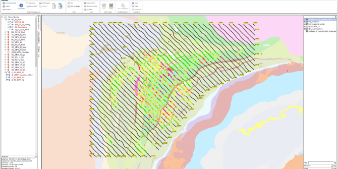
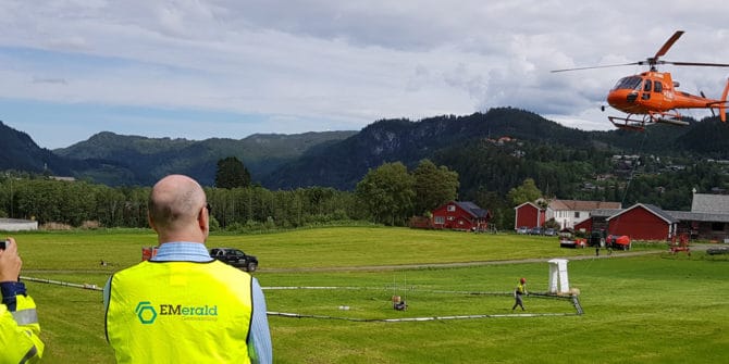
Mapping Denmark’s groundwater from the sky
Denmark’s groundwater is so clean, you can almost drink it straight out of the ground. To protect it, the government launched an ambitious project to
Filling the gaps: Why geotech and geophysics are better together
Clouds roll over Austria’s highest peak revealing it part by part. Andi A. Pfaffhuber has made a career piecing together a more complete view of
5 ways mining projects use resistivity models to reduce risks
Mining is high risk at every stage: you must find the minerals, safely and efficiently extract them, and ensure minimal environmental impact. Mining and exploration