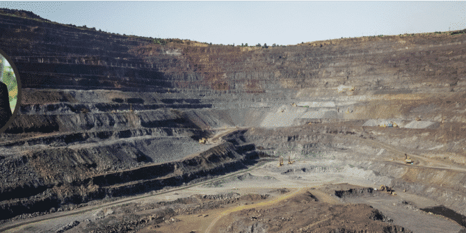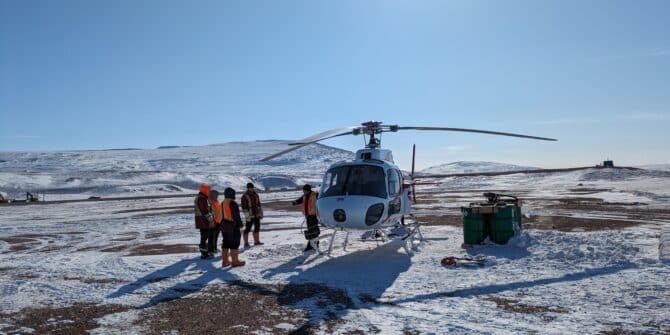
HATCH charts their digital future on one of the world’s most remote mines
HATCH, a global consulting engineering firm shares insights on their successful transition to OpenGround - Seequent’s cloud evolution of gINT. To thrive in a digital
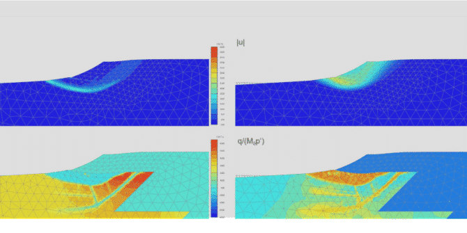
PLAXIS 2024.2 What’s New
This latest PLAXIS release includes two new user defined material models, one that helps improving the process of designing tailings dams and the other for

Building a new highway to connect the world’s most sustainable city to the world it hopes to inspire
Yet by using a combination of Seequent and Bentley software, contractors PT Hutama Karya not only managed to accelerate construction time, but also reduce carbon
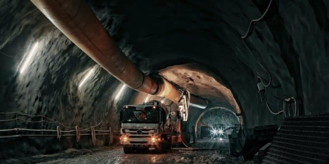
The high stakes of soft soil tunnelling. From choosing the right TBM, to picking a confident path beneath the feet of a city.
This article was first published in the August 2024 edition of Geomechanics and Tunneling Journal. As cities grow, and infrastructure projects within them become ever
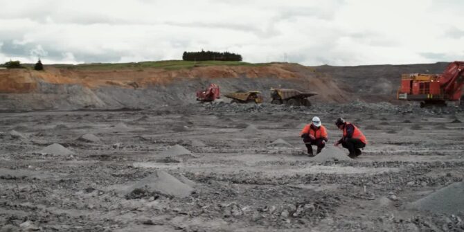
Mission-critical Control for Mining | Engineering & Mining Journal
This article was first published in the August 2024 edition of Engineering & Mining Journal. - By Carly Leonida, European Editor E&MJ looks at how
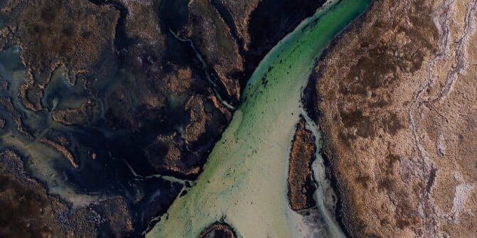
GeoStudio 2024.2 – What’s new
This latest release provides important updates and new features for GeoStudio users conducting slope stability, seepage, and consolidation analysis, particularly for defining conditions within the
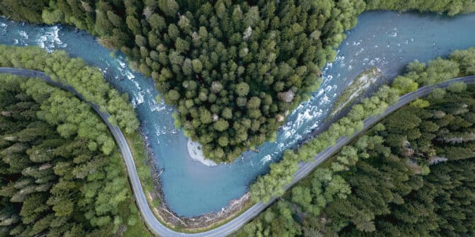
Tech Talk: Stability Analysis of Retrogressive Landslides in 2D and 3D
This webinar led by Chris Kelln, covers the following: How to set up the 2D and 3D geometries with the help of Leapfrog; Using weak


