


Integrated and dynamic geomodelling workflows
Learn about truly integrated, dynamic and agile workflows that connect all the knowledge down the mining value chain, and how we might establish feedback loops
Connecting geology to design: Seequent x Speckle
Discover the connection between the Seequent ecosystem and other design ecosystems, and how Arup is using Speckle to automate these design processes.
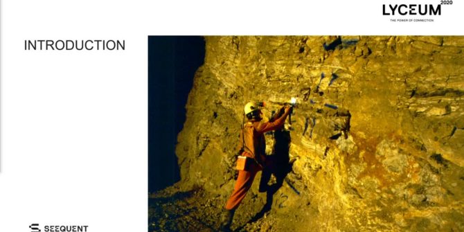
Implementing photogrammetry into dynamic grade control workflows at the Waihi gold mine
Discover how new developments in the field of photogrammetry and grade control modelling to produce higher quality and improved geological interpretations.
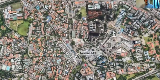
Communicating risk on design and build contracts for the North-South Corridor in Singapore
The models are instrumental in communicating the ground risks and are heavily relied upon for the evolving detailed design for the North-South Corridor in Singapore.
A new era for geotechnical collaboration
The move to a cloud environment significantly increases the value of your geotechnical data and allows your teams to benefit from a truly connected environment.
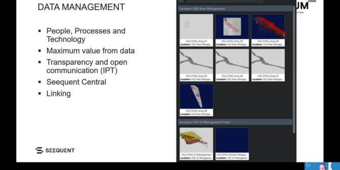
Connecting data, design and people on HS2 high speed rail, UK
Discover how these tools have supported communication of the ongoing ‘just in time’ ground investigation and enabled better collaboration and decision making.
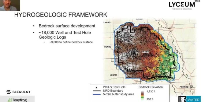
Hydrogeologic framework development using AEM data and Leapfrog
Learn Leapfrog’s powerful interpolation of over 7 million AEM data intervals and its ability to construct and export a numerical groundwater flow model grid.
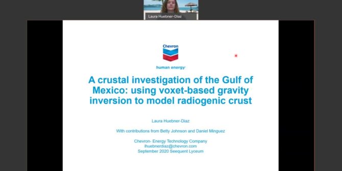
A crustal investigation of the Gulf of Mexico using voxet-based gravity inversion to model radiogenic crust
Discover how Laura Huebner-Diaz's team developed a workflow for modeling crustal architecture that uses both seismic and gravity data for an integrated result.