


Cloud solutions to streamline the drillhole to decision workflow
Data is inherent in everything we do. During exploration, the ability to capture and harness the power of data while drilling, field sampling, core processing
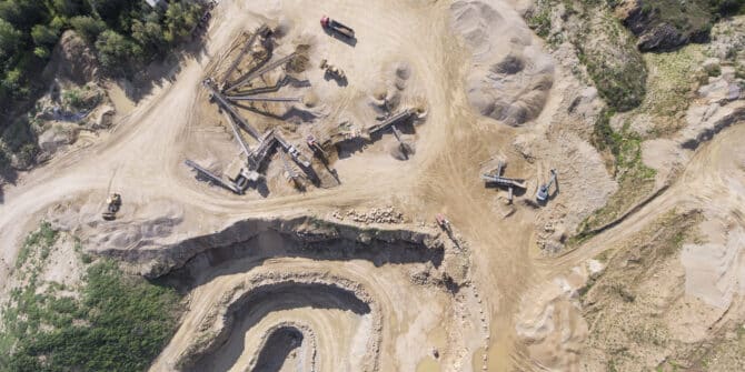
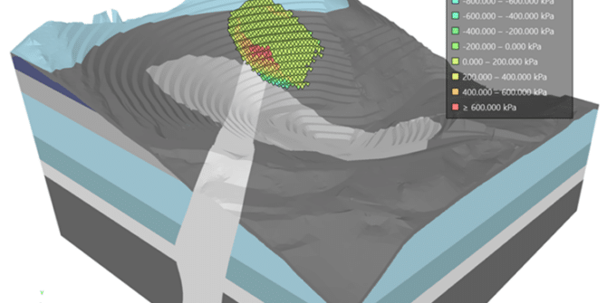
Driving Grade Control Success: An integrated workflow to maximize ore body value
How do you drive a grade control process that maximises confidence, reduces risk and gives you a high degree of ore body insight and workflow
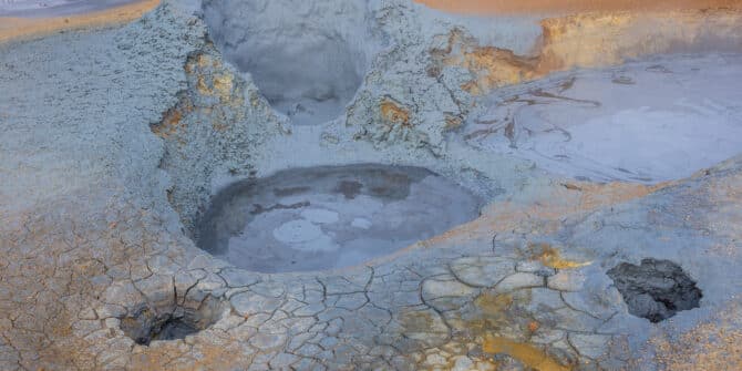
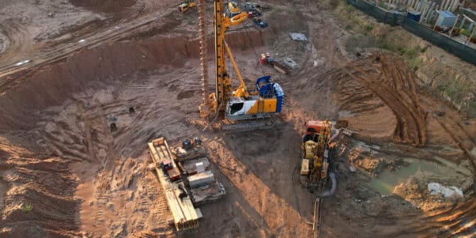
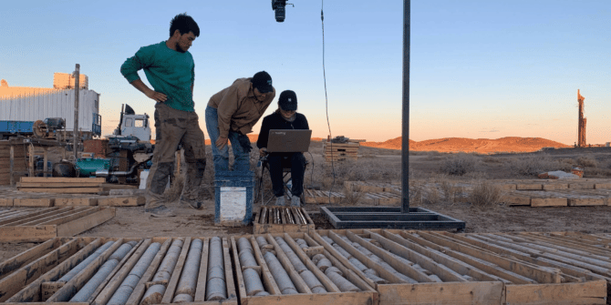
Moving geothermal energy on to the next phase of its success
The practical challenges of geothermal energy cannot be underestimated, but its achievements have also been remarkable. Better communication between teams and across scientific disciplines could

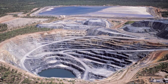
A tighter turning circle for exploration and discovery is how to reap the most from the Autumn years of oil and gas
This new world of squeezing more from the margins and having a tighter turning circle for ideas and action is where Leapfrog Energy has been
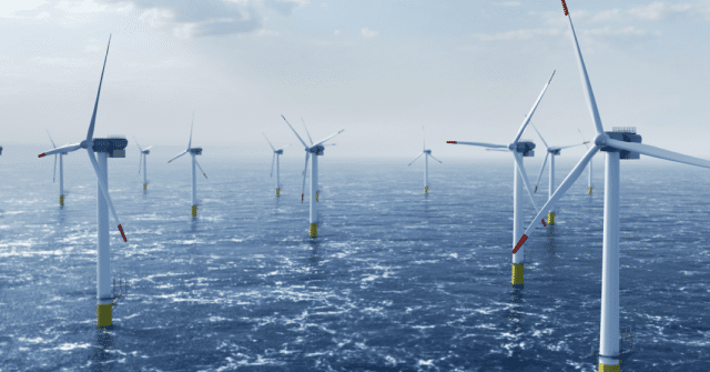
Nervousness about rising prices is giving the wind industry pause. But there are ways of bringing the many-headed monster of inflation under control.
New survey and subsurface techniques can help lower the cost of materials, fabrication, transportation and installation, argue Sean Goodman and Matt Grove, Regional Segment Managers
From local server to the cloud: How the Arcadis team transformed data management with OpenGround
Geotechnical data volumes have increased exponentially in recent years. And as technology improves, enabling better and deeper insights, the amount of data being generated is
Webinar | Imago linearisation and feature identification in Imago Portal
Join us to discover how to integrate features into your core images and get meaningful insights that can make the difference for accurate logging and
Innovation recognised in Mining Technology Excellence Awards
Seequent’s excellence in mining technology innovation has been recognised in the 2023 Mining Technology Excellence Awards. The awards celebrate the greatest achievements and innovations in