


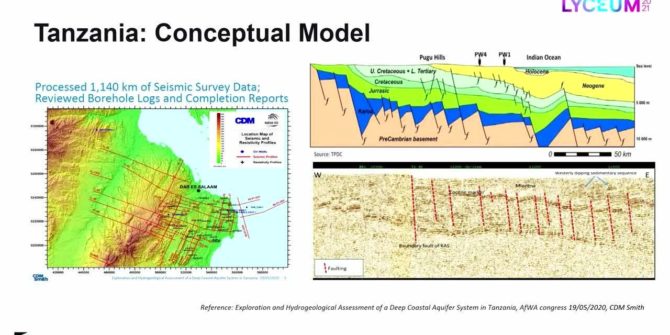
Recycling oil data to discover deep groundwater resources in water scarce countries
Ruden AS has developed an innovative method that uses existing data and technology from the oil industry, combined with applied hydrogeology to search for water
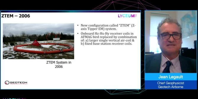
Showcasing 20 years of technology advancements of the ZTEM natural field EM system
This session will be speaking about the ZTEMTM (z-axis tipper electromagnetic) airborne passive EM mapping system, which is widely accepted as a key tool in
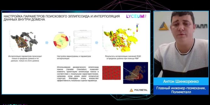
Geomechanical modelling as part of a digital mine
The geomechanical model can and should become the main tool of geomechanical engineers for identifying potentially dangerous areas and 3D calculations of different rock mass
How drones are evolving the way we explore the Earth
As drones and survey instruments become lighter and batteries become stronger, innovative ways to apply drone technology is evolving rapidly.
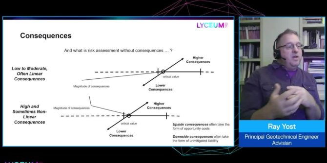
Understanding geotechnical risk: A structure for uncertainty
This session presents a means to characterize risk as a function of the relationship between uncertainty - provides divisions to the continuum of tools available
Where the uncertain subsurface meets surface infrastructure
Recent engineering accidents and natural disasters have highlighted across many industries the need for better interaction between subsurface and surface information to create more resilient
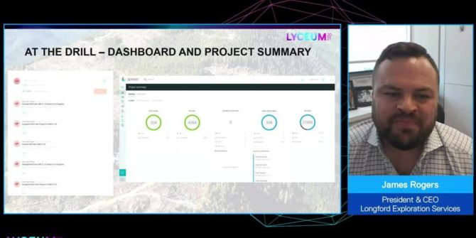
Implementation of streamlined data collection and viewing in early-stage exploration projects
This session will showcase an implementation of MX deposit, Imago, Leapfrog Geo and Central on a 50,000m historic drilling data set, implementing data capture and
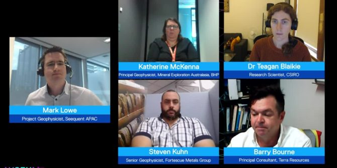
A panel discussion on how exploration geoscientists are informing geological models with iterative geophysical modelling
This panel brings together industry experts to discuss using geology to better refine geophysical models (and vice versa) to build more informed subsurface interpretations.