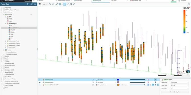
How to handle CPT data in Leapfrog Works: Soil Characterisation Using CPT Data
Watch as Customer Solutions Specialist - Geotechnical, Sudur Roy, guides you through the calculation tool of Leapfrog Works. In the first part of the mini-series
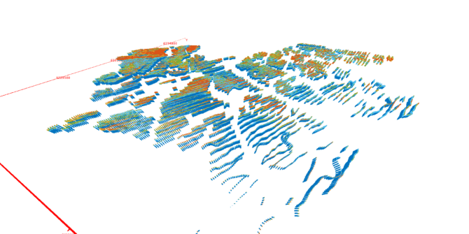
Introduction to the Hydro-Structural Modelling (HSM) module in Aarhus Workbench 6.6
With the latest release of Aarhus Workbench, we have introduced a new module that enables you to create groundwater models faster and with less uncertainty
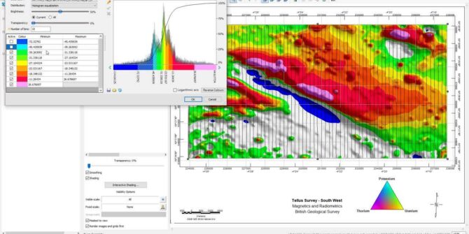
What’s new in Oasis montaj 2021.2
In this video we will have a look at: • the new interactive gridding tool • all new image colour tool • enhancements to working
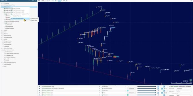
Explore Combined Borehole Sets with OpenGround Cloud and Calculations in Leapfrog Works 2021.2
Upgrade your workflows with new features available, including: - Combined borehole sets - Import from OpenGround Cloud and Calculations Aaron Hollingsworth, Customer Success Specialist at
Infographic: Where is all the water?
Groundwater is an invisible yet vital source of freshwater worldwide. Learn how it's found, consumed, and how we can protect it. Read the groundwater infographic:Infographic
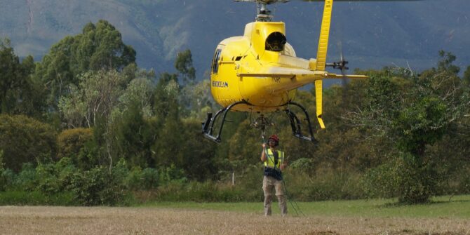
Mapping Denmark’s groundwater from the sky
Denmark’s groundwater is so clean, you can almost drink it straight out of the ground. To protect it, the government launched an ambitious project to
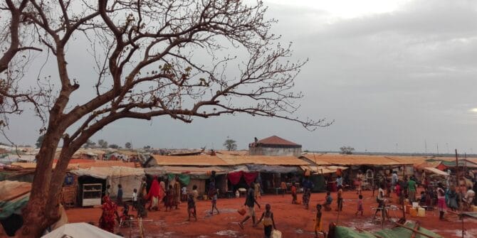
Finding vital water resources for vulnerable communities
Groundwater Relief experts have helped bring safe drinking water to more than two million people
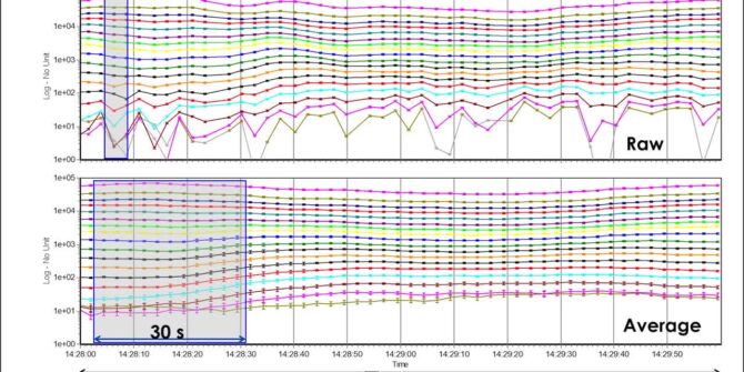
Aarhus Workbench 6.6: Redesigned TEM Auto Processing Tool
Suppress couplings and background noise and reduce model uncertainty with the TEM auto processing tool. Overview SpeakersToke Højbjerg Søltoft Aarhus GeoSoftware DirectorDuration13 minJTNDJTIxLS0lMjBUaGUlMjBzY3JpcHQlMjB0YWclMjBzaG91bGQlMjBsaXZlJTIwaW4lMjB0aGUlMjBoZWFkJTIwb2YlMjB5b3VyJTIwcGFnZSUyMGlmJTIwYXQlMjBhbGwlMjBwb3NzaWJsZSUyMC0tJTNFJTBBJTNDc2NyaXB0JTIwdHlwZSUzRCUyMnRleHQlMkZqYXZhc2NyaXB0JTIyJTIwYXN5bmMlMjBzcmMlM0QlMjJodHRwcyUzQSUyRiUyRnBsYXkudmlkeWFyZC5jb20lMkZlbWJlZCUyRnY0LmpzJTIyJTNFJTNDJTJGc2NyaXB0JTNFJTBBJTBBJTNDJTIxLS0lMjBQdXQlMjB0aGlzJTIwd2hlcmV2ZXIlMjB5b3UlMjB3b3VsZCUyMGxpa2UlMjB5b3VyJTIwcGxheWVyJTIwdG8lMjBhcHBlYXIlMjAtLSUzRSUwQSUzQ2ltZyUwQSUyMCUyMHN0eWxlJTNEJTIyd2lkdGglM0ElMjAxMDAlMjUlM0IlMjBtYXJnaW4lM0ElMjBhdXRvJTNCJTIwZGlzcGxheSUzQSUyMGJsb2NrJTNCJTIyJTBBJTIwJTIwY2xhc3MlM0QlMjJ2aWR5YXJkLXBsYXllci1lbWJlZCUyMiUwQSUyMCUyMHNyYyUzRCUyMmh0dHBzJTNBJTJGJTJGcGxheS52aWR5YXJkLmNvbSUyRjFmV0h5a2l1VVN4dmVSZHA5NkNnWVIuanBnJTIyJTBBJTIwJTIwZGF0YS11dWlkJTNEJTIyMWZXSHlraXVVU3h2ZVJkcDk2Q2dZUiUyMiUwQSUyMCUyMGRhdGEtdiUzRCUyMjQlMjIlMEElMjAlMjBkYXRhLXR5cGUlM0QlMjJpbmxpbmUlMjIlMEElMkYlM0UlMEE= Video


