


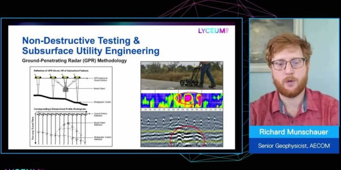
The value of adding geophysics to your infrastructure and environmental projects
It is cost effective, for the amount of data it supplies, non-intrusive and environmentally friendly, it reduces risk, and increases insight about the subsurface.
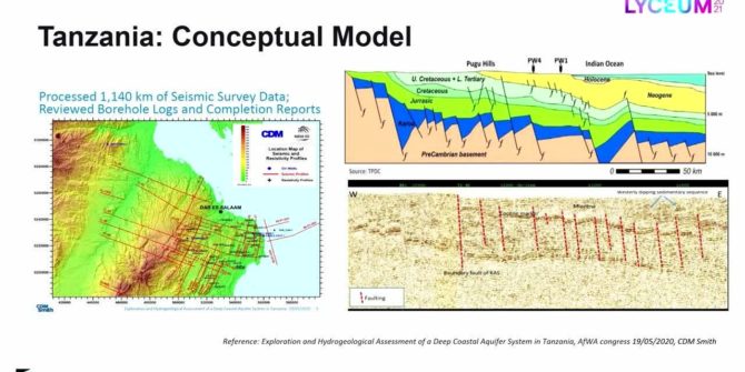
Recycling oil data to discover deep groundwater resources in water scarce countries
Ruden AS has developed an innovative method that uses existing data and technology from the oil industry, combined with applied hydrogeology to search for water
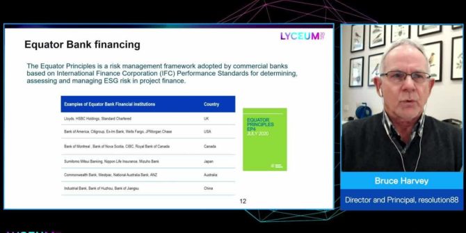
Trust, but verify: Remote sensing for ESG assurance in resource sector financing
Environmental, social and governance (ESG) is increasingly referenced in corporate boardrooms and the financial sector, and verification of ESG metrics is a new condition of
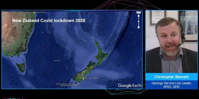
How drones are evolving the way we explore the Earth
As drones and survey instruments become lighter and batteries become stronger, innovative ways to apply drone technology is evolving rapidly.
Solving the groundwater challenge
Access to safe water and sanitation is the pivotal point that turn problems into potential by empowering people with time for school and work and
Water: A shared responsibility
Water use is growing globally at more than twice the rate of population increase in the last century, and an increasing number of regions are
How GHD enhanced its 3D geological modelling capability by combining its globally connected network with Seequent’s Central software
Over the past seven years, GHD has transformed its workflow of geological modelling and quality assurance since the adoption of Leapfrog geological modelling packages.
Lyceum 2021 closing remarks from James Lawton, Chief Technology Officer, Seequent
Closing out the Lyceum 2021 global event with what Seequent and the Geoscience community are looking to achieve in 2021 and together towards tomorrow in