How Central helps teams work remotely in Civil & Environmental Industries
Presented by Gary Johnson – Customer Solution Specialist, C&E
How Central helps teams work remotely in Geothermal Energy
Presented by Clare Baxter – Technical Sales Advisor, Energy
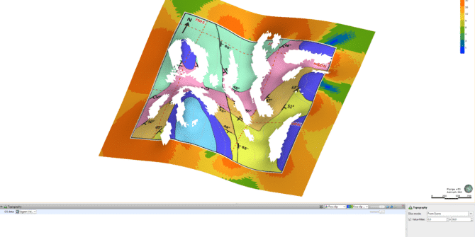
Drillhole planning – Tips for determining collar elevation and target depth of large-scale drilling campaigns
Planning large campaigns of surface drillholes for resource definition or grade control infill can be a time-consuming task. Collars need to be designed and snapped
Starting Your Project Off on the Right Foot (or Metre)
Presented by Anna Kutkiewicz – Senior Project Geologist
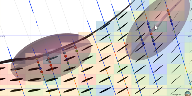
Leapfrog Edge’s Variable Orientation Tool
Classical geostatistical estimation requires the user to define volumes of stationarity (domains) within which estimation can be safely performed. In basic estimation a single constant
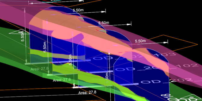
An Underground Mapping to Implicit Modelling Workflow
Kathryn Gall, BSc, GradCert Geostats, MAusIMM - Senior Technical Lead, Seequent Nick Anderson, BSc(Hons), MSc, MAusIMM - Product Manager - Geotools, Deswik In mining geology,
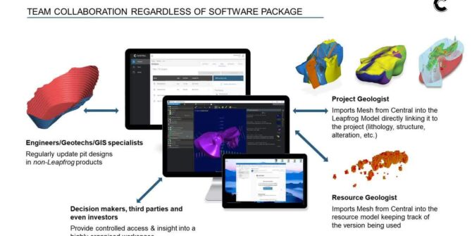
Central Browser – 1 New server connection
While the Browser may look quite different from the version used to record this video, the content in this video is still entirely valid as
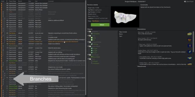
Central Browser – 2 Navigating the Central Browser
While the Browser may look quite different from the version used to record this video, the content in this video is still entirely valid as


