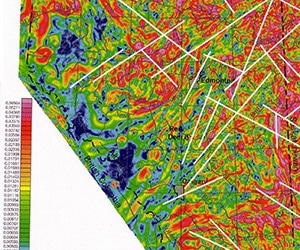
Gravity and Magnetic Geophysical Methods in Oil Exploration
In an article published in E&P magazine, Henry Lyatsky, of Lyatsky Geoscience Research & Consulting Ltd. makes the case for using gravity and magnetic geophysical
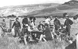
Rules of Thumb for Geological Field Mapping Success
I’d like to share some fundamental aspects to ensure success when conducting geological mapping. These “Rules of Thumb” can be applied to either true greenfields
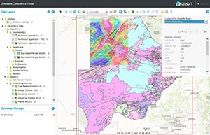
Botswana Geoscience Portal goes live
Geosoft is pleased to announce the launch of the Botswana Geoscience Portal, a partnership initiative with the Botswana Geoscience Institute and industry sponsors. Developed and
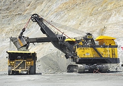
Going deep down under
A new multi-million dollar research effort headquartered in Australia may be the answer to uncovering those deeply buried mineral deposits that we all know are
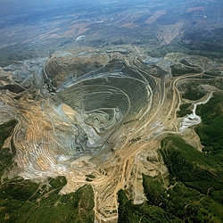
Discovery at the Bingham Canyon Mine
Fresh rendering of old drill data inspires deeper drill campaign and leads to new discovery at Rio Tinto’s Bingham Canyon mine It’s hard to imagine
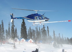
Rare Earth Exploration
Once considered little more than geological curiosities, rare earth elements (REEs) are beginning to generate media buzz as their role in green applications such as


