Seequent named a finalist in 2022 NZ Hi-Tech Awards
30 March 2022 - Seequent has been named a finalist in the 2022 NZ Hi-Tech Awards, celebrating New Zealand’s most successful high-tech companies and highest
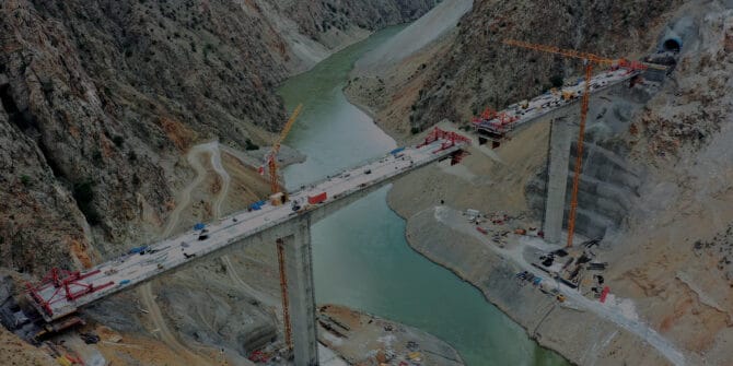
For road and rail projects, there’s always another ground condition challenge around the corner…
The linear extension of road and rail projects - the sheer distance they cover – means they will encounter wide variabilities in geology and ground
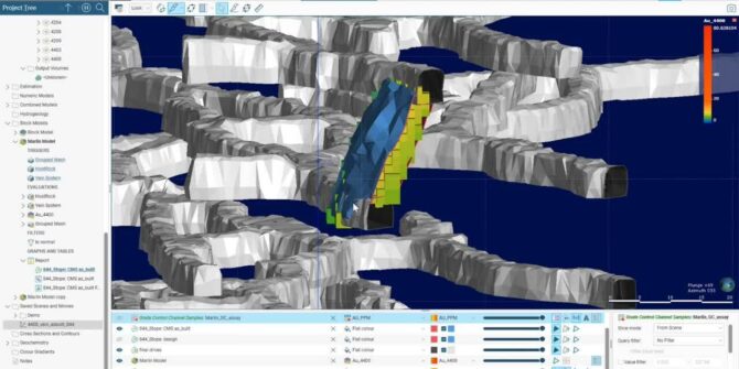
Enhanced Proportional Weighted Reports in Leapfrog Edge 2021.2
In this video, Ryan Lee, Product Manager for Production Geology goes into more detail. Overview SpeakersRyan Lee Product Manager, Production Geology - SeequentDuration3 minJTNDJTIxLS0lMjBUaGUlMjBzY3JpcHQlMjB0YWclMjBzaG91bGQlMjBsaXZlJTIwaW4lMjB0aGUlMjBoZWFkJTIwb2YlMjB5b3VyJTIwcGFnZSUyMGlmJTIwYXQlMjBhbGwlMjBwb3NzaWJsZSUyMC0tJTNFJTBBJTNDc2NyaXB0JTIwdHlwZSUzRCUyMnRleHQlMkZqYXZhc2NyaXB0JTIyJTIwYXN5bmMlMjBzcmMlM0QlMjJodHRwcyUzQSUyRiUyRnBsYXkudmlkeWFyZC5jb20lMkZlbWJlZCUyRnY0LmpzJTIyJTNFJTNDJTJGc2NyaXB0JTNFJTBBJTBBJTNDJTIxLS0lMjBQdXQlMjB0aGlzJTIwd2hlcmV2ZXIlMjB5b3UlMjB3b3VsZCUyMGxpa2UlMjB5b3VyJTIwcGxheWVyJTIwdG8lMjBhcHBlYXIlMjAtLSUzRSUwQSUzQ2ltZyUwQSUyMCUyMHN0eWxlJTNEJTIyd2lkdGglM0ElMjAxMDAlMjUlM0IlMjBtYXJnaW4lM0ElMjBhdXRvJTNCJTIwZGlzcGxheSUzQSUyMGJsb2NrJTNCJTIyJTBBJTIwJTIwY2xhc3MlM0QlMjJ2aWR5YXJkLXBsYXllci1lbWJlZCUyMiUwQSUyMCUyMHNyYyUzRCUyMmh0dHBzJTNBJTJGJTJGcGxheS52aWR5YXJkLmNvbSUyRjhUeldYbWhBbkJaVEhXeHg0RkJHTWUuanBnJTIyJTBBJTIwJTIwZGF0YS11dWlkJTNEJTIyOFR6V1htaEFuQlpUSFd4eDRGQkdNZSUyMiUwQSUyMCUyMGRhdGEtdiUzRCUyMjQlMjIlMEElMjAlMjBkYXRhLXR5cGUlM0QlMjJpbmxpbmUlMjIlMEElMkYlM0UlMEE= Video
Introduction to the Hydro-Structural Modelling (HSM) module in Aarhus Workbench 6.6
With the latest release of Aarhus Workbench, we have introduced a new module that enables you to create groundwater models faster and with less uncertainty
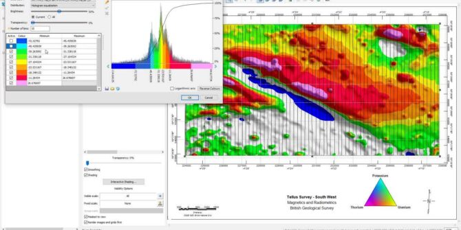
What’s new in Oasis montaj 2021.2
In this video we will have a look at: • the new interactive gridding tool • all new image colour tool • enhancements to working
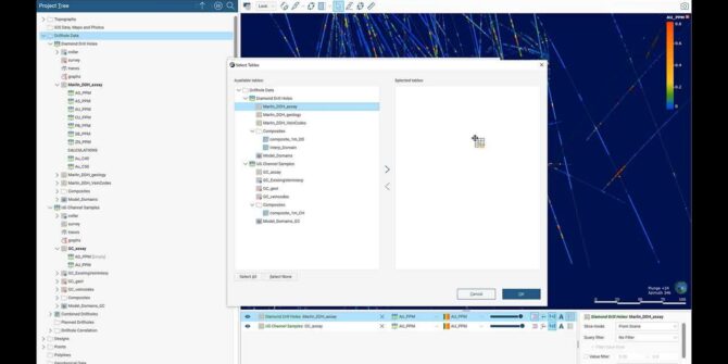
Use Cases for Merged Drillhole Sets in Leapfrog Geo 2021.2
In this video, we'll explore use cases and improvements to merged drillhole sets. Joseph Parker will share use cases and insights into the latest version
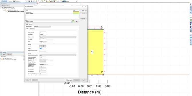
SIGMA/W Material Model Series: SANICLAY Material Model
In this webinar, we reviewed the new SANICLAY material models as part of the next segment of the SIGMA/W Material Models series. Natural clays will
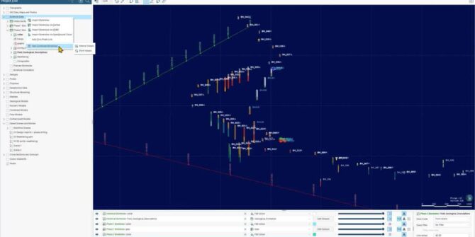
Explore Combined Borehole Sets with OpenGround Cloud and Calculations in Leapfrog Works 2021.2
Upgrade your workflows with new features available, including: - Combined borehole sets - Import from OpenGround Cloud and Calculations Aaron Hollingsworth, Customer Success Specialist at


