How to set my colour legend bar transparent without getting the text transparent in Oasis montaj
Objective: I would like to set my colour legend bar transparent without getting the text transparent in Oasis montaj. Resolution: At this moment, there is

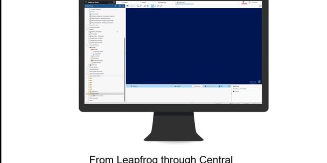
GeoStudio 2021.4 Feature Highlight: Multiple section interoperability
The GeoStudio 2021.4 release continues to enhance your journey to a digital twin with improved interoperability between Leapfrog geological models and the 2D-centric workflow of

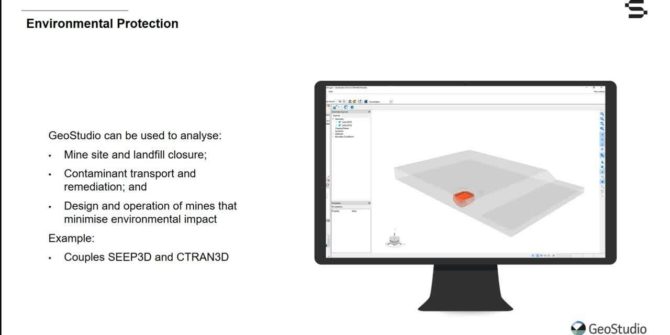
Introducing GeoStudio 3D FLOW, for more flexibility in environmental modelling
This short video will introduce you to GeoStudio 3D FLOW, combining the all new CTRAN3D and AIR3D with SEEP3D and TEMP3D. Learn how GeoStudio 3D

A win for Seequent in NZ’s Westpac Champion Business Awards 2021
Seequent is honoured to be a winner in the prestigious Westpac Champion Business Awards 2021 for the New Zealand Ministry of Foreign Affairs and Trade

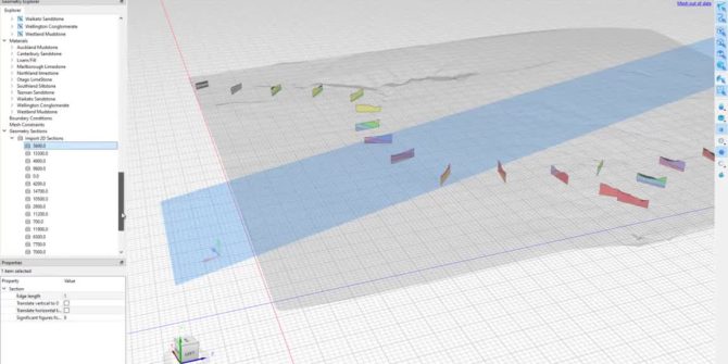
Advancing the Digital Twin: Connecting 2D Numerical Analyses to the Geological Model
Each monthly webinar is designed to improve understanding of the software and ultimately help users create better numerical analyses. This month, we will be introducing

How to export holes as 3D shapes using Combined Models
Objective: I need to share / export my holes as 3D objects (solids) with other software. Like a cylinder around each interval. Resolution: You can

How to use a fault as an unconformity layer
Objective:I need to model both hard and soft rock and my hard rock has faults in them. I need to limit the effect of the

How to extend my topography
Objective: I have a topography that is to small to be used in my Geological Model and get an error when trying to use it.


